Kelvinside, Glasgow
Map
Map

Facts and practical information
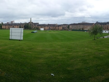
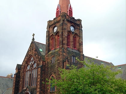
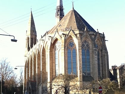
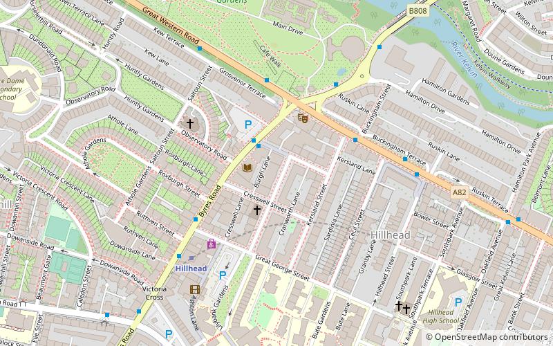
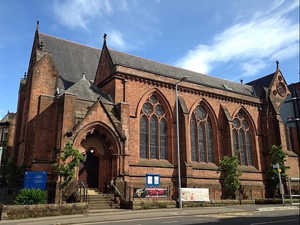
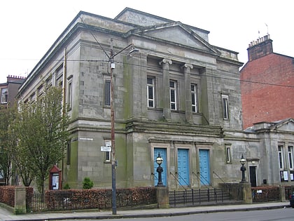
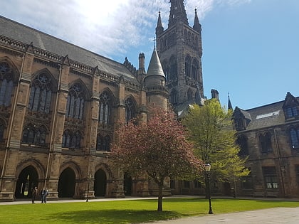
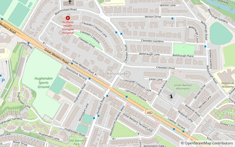
Kelvinside is a district in the Scottish city of Glasgow. It is situated north of the River Clyde and is bounded by Broomhill, Dowanhill and Hyndland to the south with Kelvindale and the River Kelvin to the north. It is an affluent area of Glasgow, with large Victorian villas and terraces. ()
Coordinates: 55°52'59"N, 4°18'10"W
Address
KelvinsideGlasgow
ContactAdd
Social media
Add
Day trips
Kelvinside – popular in the area (distance from the attraction)
Nearby attractions include: Glasgow Botanic Gardens, Hamilton Crescent, Cottiers, Ruchill Church Hall.
Frequently Asked Questions (FAQ)
Which popular attractions are close to Kelvinside?
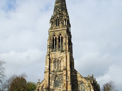
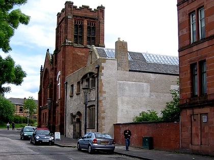
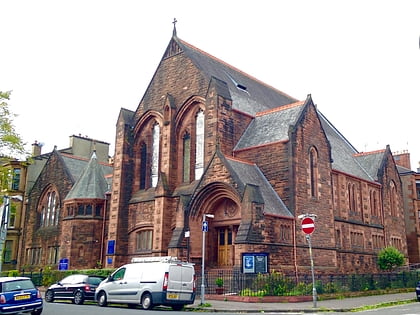
Nearby attractions include St Bride's Church, Glasgow (7 min walk), St John's Renfield Church, Glasgow (7 min walk), Scottish Mask and Puppet Centre, Glasgow (8 min walk), Hyndland Parish Church, Glasgow (8 min walk).
How to get to Kelvinside by public transport?
The nearest stations to Kelvinside:
Bus
Train
Metro
Bus
- Great Western Road / Hyndland Road • Lines: 6A (2 min walk)
Train
- Hyndland (14 min walk)
- Kelvindale (20 min walk)
Metro
- Hillhead • Lines: Subway (17 min walk)
- Kelvinhall • Lines: Subway (22 min walk)


