Overslade, Rugby
Map

Map

Facts and practical information
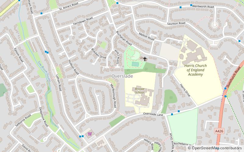
Overslade is a residential area in the central south part of the town of Rugby, Warwickshire. The area was developed for housing in the 20th century, mostly between the 1930s and late-1950s. It was historically within the parish of Bilton. ()
Coordinates: 52°21'43"N, 1°16'34"W
Address
Rugby
ContactAdd
Social media
Add
Day trips
Overslade – popular in the area (distance from the attraction)
Nearby attractions include: Macready Theatre, Rugby Town Hall, St Andrew's Church, Rugby Theatre.
Frequently Asked Questions (FAQ)
Which popular attractions are close to Overslade?
Nearby attractions include Rugby School, Rugby (19 min walk), The William Webb Ellis, Rugby (20 min walk), Rugby Art Gallery and Museum, Rugby (22 min walk), Macready Theatre, Rugby (22 min walk).
How to get to Overslade by public transport?
The nearest stations to Overslade:
Bus
Train
Bus
- Overslade Lane • Lines: 25 (8 min walk)
- Sedlescombe Park • Lines: 25 (10 min walk)
Train
- Rugby (42 min walk)


