Glengall Bridge, London
Map
Map

Facts and practical information
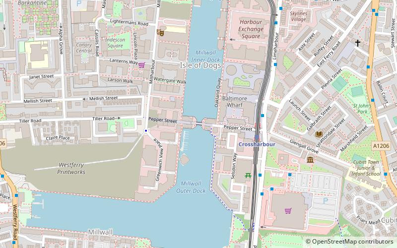
Glengall Bridge is a bridge in the Millwall Inner Dock, Isle of Dogs, London, England, near the Crossharbour DLR station. It is located in the London Borough of Tower Hamlets. The present Dutch-style double-leaf bascule bridge opened in 1990, resembling Langlois Bridge at Arles.The contract to manufacture the bridge across Millwall Dock was awarded to Butterley Engineering Company Ltd; of Ripley, Derbyshire. ()
Coordinates: 51°29'47"N, 0°1'1"W
Address
Tower Hamlets (Isle of Dogs)London
ContactAdd
Social media
Add
Day trips
Glengall Bridge – popular in the area (distance from the attraction)
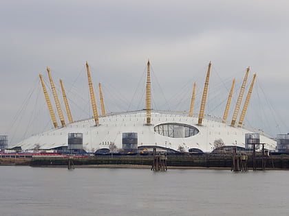
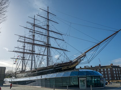
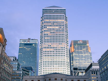
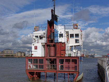
Nearby attractions include: The O2, Cutty Sark, One Canada Square, A Slice of Reality.
Frequently Asked Questions (FAQ)
Which popular attractions are close to Glengall Bridge?
Nearby attractions include St John's Estate, London (9 min walk), Isle of Dogs, London (10 min walk), Mudchute Park and Farm, London (10 min walk), South Quay Plaza, London (11 min walk).
How to get to Glengall Bridge by public transport?
The nearest stations to Glengall Bridge:
Light rail
Bus
Metro
Ferry
Train
Light rail
- Crossharbour Platform 2 • Lines: B-L, S-L (3 min walk)
- South Quay Platform 2 • Lines: B-L, S-L (7 min walk)
Bus
- Crossharbour Station • Lines: D6 (4 min walk)
- East Ferry Road • Lines: D6 (5 min walk)
Metro
- Canary Wharf • Lines: Jubilee (13 min walk)
- North Greenwich • Lines: Jubilee (25 min walk)
Ferry
- Greenland Pier • Lines: Rb1 (17 min walk)
- Masthouse Terrace Pier • Lines: Rb1 (17 min walk)
Train
- Maze Hill (34 min walk)
- Limehouse (38 min walk)

 Tube
Tube