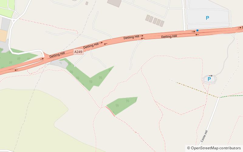
Detling Hill, Maidstone
Map

Map

Facts and practical information
Detling Hill is a hill forming part of the North Downs in Kent, north-east of Maidstone, and is situated in the Kent Downs Area of Outstanding Natural Beauty. The typical southern escarpment of the North Downs is found here, and produces dramatic views over the Low Weald. The North Downs Way passes along the hill just south of the summit. ()
Coordinates: 51°17'53"N, 0°35'11"E
Address
ThurnhamMaidstone
ContactAdd
Social media
Add
Day trips
Detling Hill – popular in the area (distance from the attraction)
Nearby attractions include: St Martin of Tours Church, White Horse Wood, The Larches, Jade's Crossing.
Frequently Asked Questions (FAQ)
Which popular attractions are close to Detling Hill?
Nearby attractions include White Horse Wood, Maidstone (7 min walk), Jade's Crossing, Maidstone (20 min walk), St Martin of Tours Church, Maidstone (21 min walk).
How to get to Detling Hill by public transport?
The nearest stations to Detling Hill:
Bus
Bus
- The Cock Horse • Lines: 334 (18 min walk)
- The Street • Lines: 334 (19 min walk)


