Manchester Fort, Manchester
Map

Map

Facts and practical information
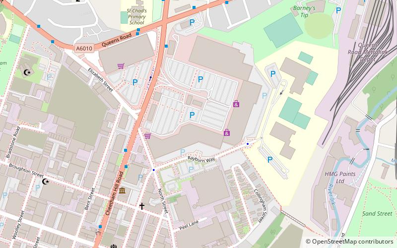
Manchester Fort is a retail park in the Cheetham Hill area of Manchester, United Kingdom. The property includes 36 units with a total floorspace of 325,000 sq ft. It opened in 2005 and its anchors included B&Q and TK Maxx. ()
Elevation: 180 ft a.s.l.Coordinates: 53°29'51"N, 2°14'5"W
Address
CheethamManchester
ContactAdd
Social media
Add
Day trips
Manchester Fort – popular in the area (distance from the attraction)
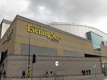
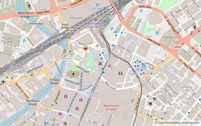
Nearby attractions include: Corporation Street, Manchester Arndale, Manchester Cathedral, Manchester Arena.
Frequently Asked Questions (FAQ)
Which popular attractions are close to Manchester Fort?
Nearby attractions include Manchester Jewish Museum, Manchester (5 min walk), Museum of Transport, Manchester (11 min walk), Cheetham, Manchester (11 min walk), Manchester Oratory, Manchester (11 min walk).
How to get to Manchester Fort by public transport?
The nearest stations to Manchester Fort:
Tram
Bus
Train
Tram
- Queens Road • Lines: Altr, Bury, Picc (12 min walk)
- Victoria • Lines: Airp, Altr, Bury, EDid, Picc, Roch, Shaw, Vict (19 min walk)
Bus
- GREAT DUCIE Street/Strangeways • Lines: X43 (18 min walk)
- Queens Road/Rochdale Road • Lines: 53 (19 min walk)
Train
- Manchester Victoria (19 min walk)
- Salford Central (34 min walk)

 Metrolink
 Metrolink / Rail


