Craigiebank, Dundee
Map
Facts and practical information
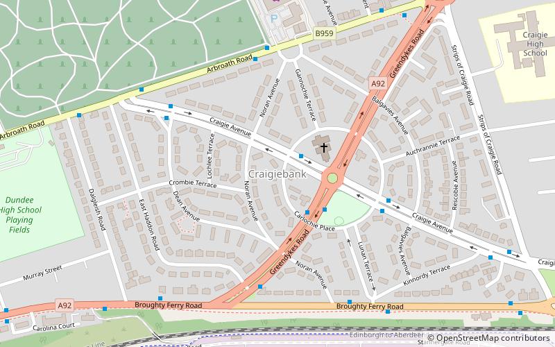
Craigiebank is an area of eastern Dundee, Scotland. It borders three other areas of the city: West Ferry to the east, Pitkerro to the north, Baxter Park and East Port to the south-west. ()
Coordinates: 56°28'15"N, 2°55'48"W
Address
Dundee
ContactAdd
Social media
Add
Day trips
Craigiebank – popular in the area (distance from the attraction)
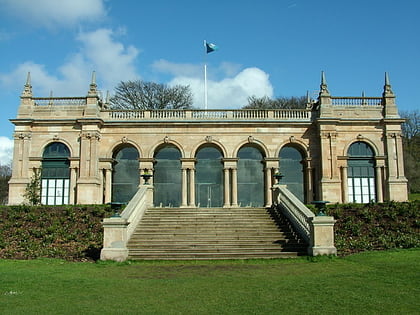
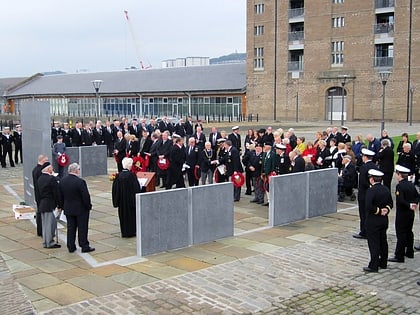
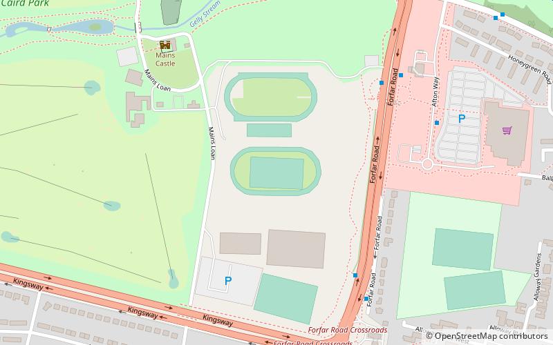
Nearby attractions include: Baxter Park, Dundee International Submarine Memorial, Mains Castle, Dundee Museum of Transport.
Frequently Asked Questions (FAQ)
Which popular attractions are close to Craigiebank?
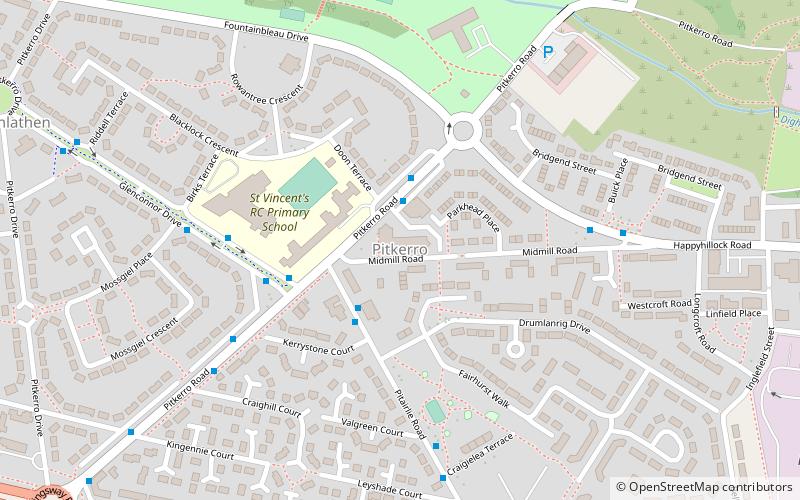
Nearby attractions include Baxter Park, Dundee (21 min walk), Dundee Museum of Transport, Dundee (21 min walk), Pitkerro, Dundee (21 min walk).
