Rose Walk, Kingston upon Thames
Map

Map

Facts and practical information
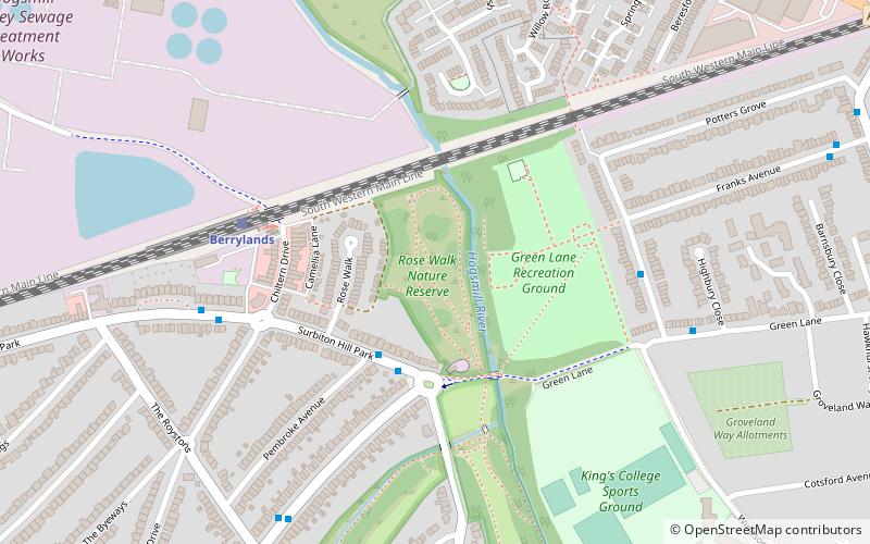
Rose Walk is a 2.7 hectare Local Nature Reserve in Berrylands in the Royal Borough of Kingston upon Thames in London. It is also part of the Hogsmill Valley Site of Borough Importance for Nature Conservation, Grade 1. ()
Elevation: 49 ft a.s.l.Coordinates: 51°23'54"N, 0°16'38"W
Address
Kingston upon Thames (Berrylands)Kingston upon Thames
ContactAdd
Social media
Add
Day trips
Rose Walk – popular in the area (distance from the attraction)
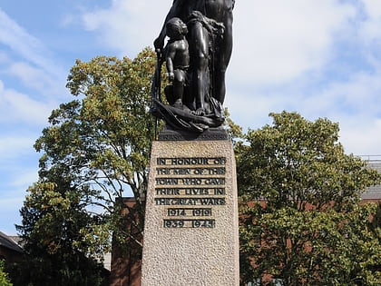
Nearby attractions include: Bentall Centre, Kingston upon Thames War Memorial, The Fighting Cocks, Kingston Museum.
Frequently Asked Questions (FAQ)
How to get to Rose Walk by public transport?
The nearest stations to Rose Walk:
Bus
Train
Bus
- Pembroke Avenue • Lines: 665, K2 (3 min walk)
- Hail & Ride Green Lane Recreation Ground • Lines: K5 (5 min walk)
Train
- Berrylands (5 min walk)
- New Malden (26 min walk)


