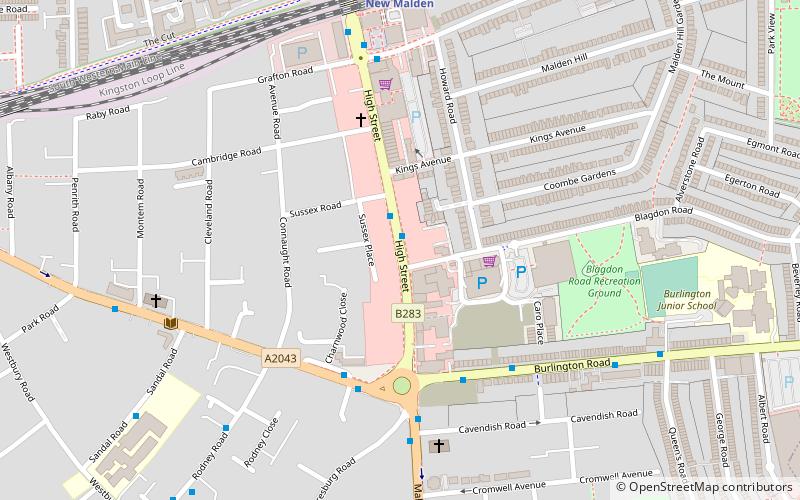
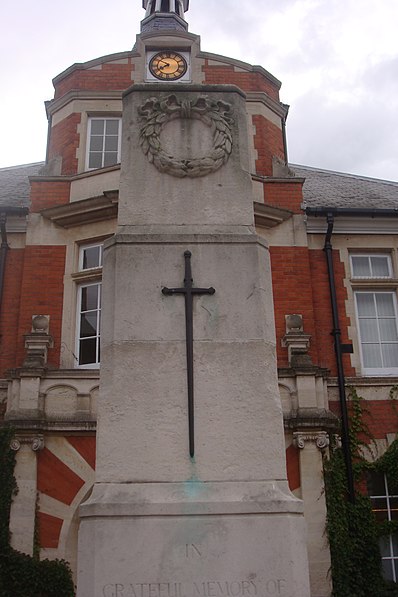
New Malden High Street, London
Map

Gallery

Facts and practical information
New Malden High Street is a 1 km-long high street in New Malden, the centre of the suburb that grew up around New Malden railway station in the 19th and 20th centuries. It is in the Royal Borough of Kingston upon Thames, now part of south west London. ()
Coordinates: 51°24'2"N, 0°15'21"W
Address
Kingston upon Thames (Beverley)London
ContactAdd
Social media
Add
Day trips
New Malden High Street – popular in the area (distance from the attraction)
Nearby attractions include: World of Golf London, New Malden Town Hall, Sir Joseph Hood Memorial Wood, Southwood Open Space.
Frequently Asked Questions (FAQ)
Which popular attractions are close to New Malden High Street?
Nearby attractions include New Malden Town Hall, London (4 min walk), Rose Walk, Kingston upon Thames (24 min walk).
How to get to New Malden High Street by public transport?
The nearest stations to New Malden High Street:
Bus
Train
Bus
- New Malden High Street • Lines: 213, K1 (1 min walk)
- Walton Avenue • Lines: 131, 152, 265, N87 (4 min walk)
Train
- New Malden (7 min walk)
- Motspur Park (21 min walk)

 Tube
Tube


