Glentaisie, Ballycastle

Map
Facts and practical information
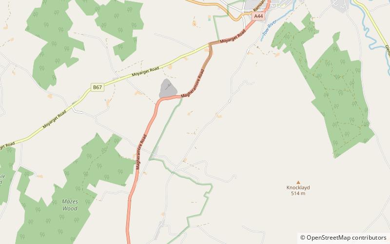
Glentaisie is one of the nine Glens of Antrim in County Antrim, Northern Ireland. It was shaped during the Ice Age by glaciers. The glen is most northerly of the nine glens and lies at the foot of Knocklayde mountain. The town of Ballycastle lies on the coast at the foot of the glen. ()
Coordinates: 55°10'27"N, 6°17'15"W
Address
Ballycastle
ContactAdd
Social media
Add
Day trips
Glentaisie – popular in the area (distance from the attraction)
Nearby attractions include: Carrick-a-Rede Rope Bridge, Ballintoy, Kinbane Castle, Bonamargy Friary.


