Cheriton Hill, Kent Downs

Gallery (2)
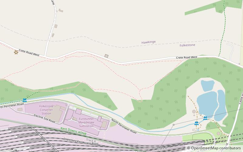
Map
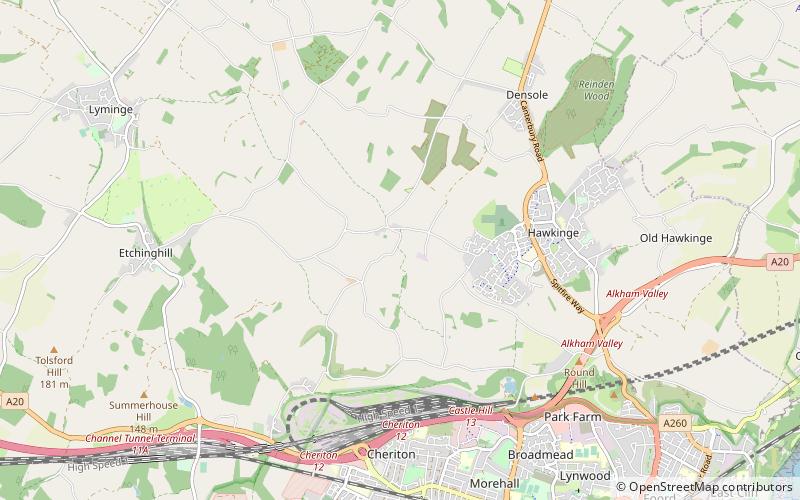

Map
Gallery
Facts and practical information
Cheriton Hill is a hill overlooking the English Channel near Folkestone in the south-east corner of Kent, England. The relatively low-lying hill is covered with farmland, villages, narrow lanes, and footpaths. The highest point is on a covered reservoir next to the trig point; the highest natural point is nearby, probably close to the road to the village of Paddlesworth, near a transmitter mast, but the relatively flat summit gives no real impression of being on top of a hill. ()
Coordinates: 51°6'49"N, 1°8'15"E
Address
Kent Downs
ContactAdd
Social media
Add
Day trips