Folkestone Downs, Folkestone

Map
Facts and practical information
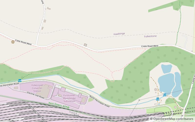
The Folkestone Downs are an area of chalk downland above Folkestone, where the eastern end of the North Downs escarpment meets the English Channel. Part of the Downs is the Folkestone to Etchinghill Escarpment Site of Special Scientific Interest, designated for its geological and biological interest. ()
Coordinates: 51°5'60"N, 1°9'0"E
Address
Folkestone
ContactAdd
Social media
Add
Day trips
Folkestone Downs – popular in the area (distance from the attraction)
Nearby attractions include: Folkestone Ski Centre, Kent Battle of Britain Museum, Cheriton, Folkestone Castle.
Frequently Asked Questions (FAQ)
Which popular attractions are close to Folkestone Downs?
Nearby attractions include Folkestone Castle, Folkestone (13 min walk), Kent Battle of Britain Museum, Hawkinge (23 min walk), Cheriton, Folkestone (24 min walk).
How to get to Folkestone Downs by public transport?
The nearest stations to Folkestone Downs:
Train
Train
- Folkestone West (28 min walk)


