Watford Colosseum, Watford
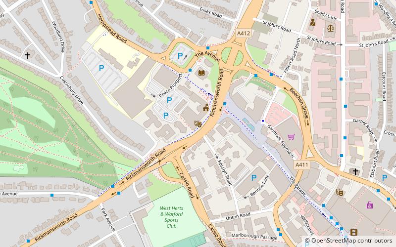
Map

Map

Facts and practical information
Watford Colosseum is an entertainment venue in Watford, Hertfordshire, England. Established in 1938, as the Assembly Rooms for Watford Town Hall, the complex was extended in 2011 with improvements which included new meeting spaces, a new restaurant and new bar facilities. ()
Coordinates: 51°39'32"N, 0°24'12"W
Day trips
Watford Colosseum – popular in the area (distance from the attraction)
Nearby attractions include: Atria Watford Shopping Centre, Vicarage Road, Cassiobury Park, Holy Rood Church.
Frequently Asked Questions (FAQ)
Which popular attractions are close to Watford Colosseum?
Nearby attractions include Watford Town Hall, Watford (1 min walk), Watford Peace Memorial, Watford (2 min walk), West Herts College, Watford (5 min walk), Centre for Missional Leadership, Watford (7 min walk).
How to get to Watford Colosseum by public transport?
The nearest stations to Watford Colosseum:
Bus
Train
Metro
Bus
- Town Hall • Lines: 724 (2 min walk)
- Exchange Road • Lines: 306, R2 (7 min walk)
Train
- Watford Junction (12 min walk)
- Watford High Street (17 min walk)
Metro
- Watford • Lines: Metropolitan (17 min walk)


