St John's Church, Watford
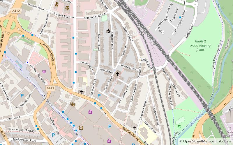
Map

Map

Facts and practical information
The Church of St John the Apostle and Evangelist is a Church of England parish church located in Sutton Road, close to the centre of the busy market town of Watford in Hertfordshire. It is within the Diocese of St Albans and has throughout its history been one of the leading Anglo-Catholic churches in the southeast of England. Today it is part of the Richborough Episcopal Area, and lies in the pastoral and sacramental care of the Provincial Episcopal Visitor. ()
Coordinates: 51°39'31"N, 0°23'38"W
Day trips
St John's Church – popular in the area (distance from the attraction)
Nearby attractions include: Atria Watford Shopping Centre, Vicarage Road, Cassiobury Park, Watford Colosseum.
Frequently Asked Questions (FAQ)
Which popular attractions are close to St John's Church?
Nearby attractions include Watford Palace Theatre, Watford (5 min walk), Centre for Missional Leadership, Watford (7 min walk), St Mary's Church, Watford (8 min walk), Holy Rood Church, Watford (9 min walk).
How to get to St John's Church by public transport?
The nearest stations to St John's Church:
Bus
Train
Metro
Bus
- Beechen Grove • Lines: 142, 258, 306, 8 (4 min walk)
- Clarendon Road • Lines: 142, 258, 724, 8 (4 min walk)
Train
- Watford Junction (10 min walk)
- Watford High Street (12 min walk)
Metro
- Watford • Lines: Metropolitan (27 min walk)


