Nile Clumps, Stonehenge
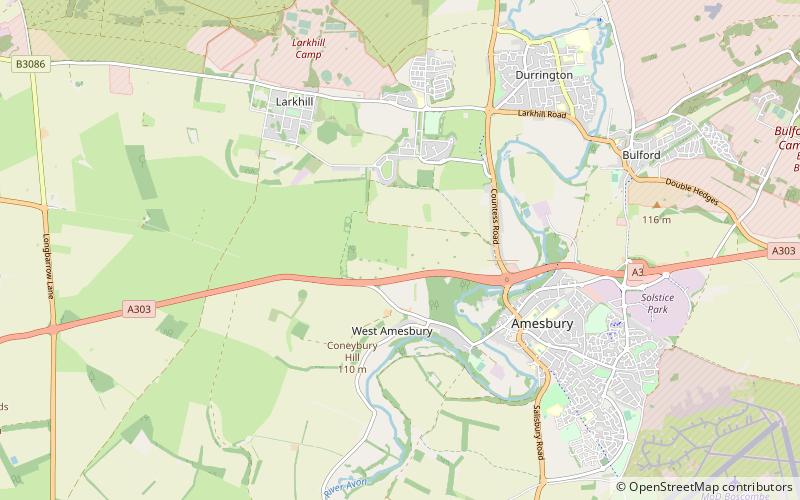
Map

Map

Facts and practical information
The Nile Clumps are a series of tree clumps just west of Amesbury on Salisbury Plain in Wiltshire, England, planted in the early 19th century purportedly to commemorate the Battle of the Nile. ()
Coordinates: 51°10'50"N, 1°47'58"W
Address
Stonehenge
ContactAdd
Social media
Add
Day trips
Nile Clumps – popular in the area (distance from the attraction)
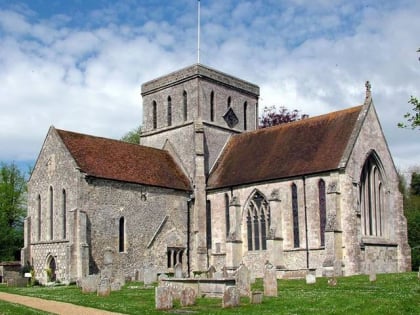
Nearby attractions include: Church of St Mary and St Melor, Woodhenge, Stonehenge Cursus, Durrington Walls.
Frequently Asked Questions (FAQ)
Which popular attractions are close to Nile Clumps?
Nearby attractions include Vespasian's Camp, Stonehenge (14 min walk), Blick Mead, Amesbury (15 min walk), Bluestonehenge, Stonehenge (17 min walk), Coneybury Henge, Stonehenge (17 min walk).


