Archaeoastronomy and Stonehenge, Stonehenge
Map

Map

Facts and practical information
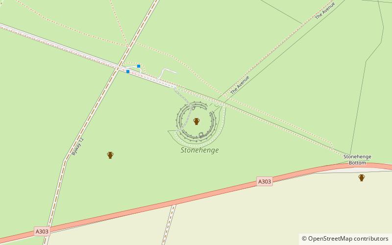
The prehistoric monument of Stonehenge has long been studied for its possible connections with ancient astronomy. The site is aligned in the direction of the sunrise of the summer solstice and the sunset of the winter solstice. Archaeoastronomers have made a range of further claims about the site's connection to astronomy, its meaning, and its use. ()
Coordinates: 51°10'44"N, 1°49'34"W
Address
Stonehenge
ContactAdd
Social media
Add
Day trips
Archaeoastronomy and Stonehenge – popular in the area (distance from the attraction)
Nearby attractions include: Stonehenge Cursus, Bush Barrow, Normanton Down Barrows, Stonehenge Landscape.
Frequently Asked Questions (FAQ)
Which popular attractions are close to Archaeoastronomy and Stonehenge?
Nearby attractions include Stonehenge Landscape, Stonehenge (3 min walk), Stonehenge, Amesbury (3 min walk), North Wessex Downs, Stonehenge (13 min walk), Stonehenge Cursus, Stonehenge (14 min walk).


