Nile Street, Bath
Map
Gallery
Facts and practical information
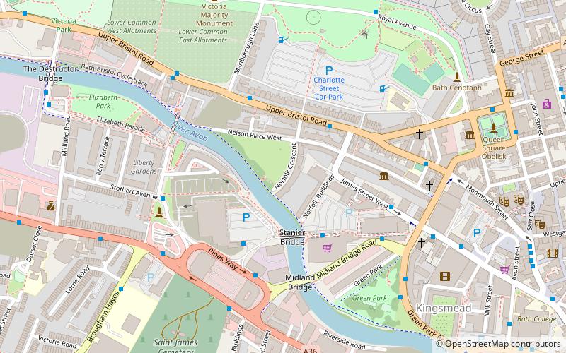
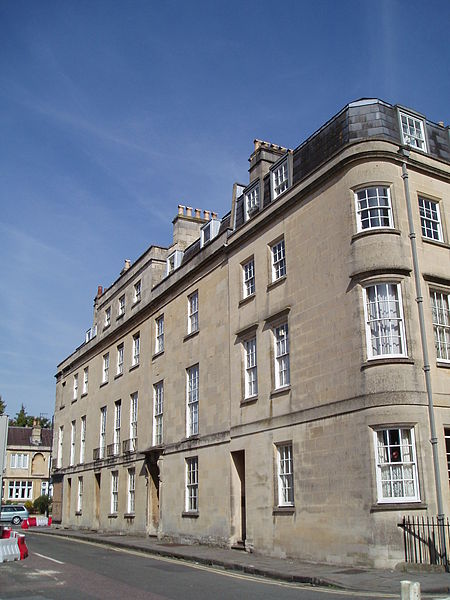
Nile Street in Bath, Somerset, England is a short street of Georgian houses linking Norfolk Crescent and Nelson Place West with the Upper Bristol Road. ()
Coordinates: 51°22'57"N, 2°22'12"W
Address
Bath
ContactAdd
Social media
Add
Day trips
Nile Street – popular in the area (distance from the attraction)
Nearby attractions include: Royal Crescent, No. 1 Royal Crescent, Royal Victoria Park, Jane Austen Centre.
Frequently Asked Questions (FAQ)
Which popular attractions are close to Nile Street?
Nearby attractions include Norfolk Crescent, Bath (1 min walk), Nelson Place West, Bath (2 min walk), Herschel Museum of Astronomy, Bath (4 min walk), Midland Bridge, Bath (4 min walk).
How to get to Nile Street by public transport?
The nearest stations to Nile Street:
Bus
Train
Bus
- Green Park Gc • Lines: 21 (4 min walk)
- Monmouth Place Gd • Lines: 21 (5 min walk)
Train
- Oldfield Park (13 min walk)
- Bath Spa (17 min walk)


