Sun in the Sands, London
Map
Map

Facts and practical information
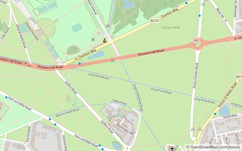
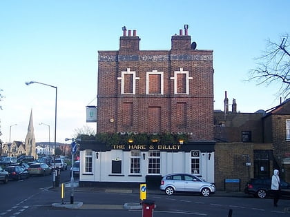
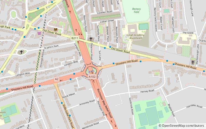
The Sun in the Sands is a pub-restaurant between Blackheath and Shooter's Hill in London. It lends its name to the adjacent junction, where the A2 between central London and north Kent meets the A102, which notably, to the north, provides access to the Blackwall Tunnel. Several Transport for London bus routes pass the former simple crossroads. ()
Coordinates: 51°28'31"N, 0°1'32"E
Address
Greenwich (Kidbrooke with Hornfair)London
ContactAdd
Social media
Add
Day trips
Sun in the Sands – popular in the area (distance from the attraction)
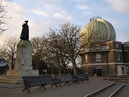
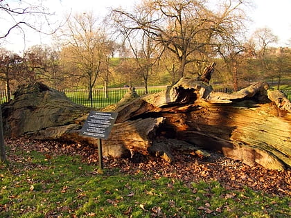
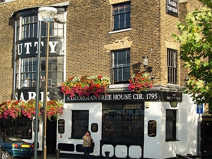
Nearby attractions include: Royal Observatory, Greenwich Park, Queen Elizabeth's Oak, The Cutty Sark.
Frequently Asked Questions (FAQ)
Which popular attractions are close to Sun in the Sands?
Nearby attractions include St John's Blackheath, London (8 min walk), Woodlands House, London (13 min walk), Charlton Park, London (22 min walk).
How to get to Sun in the Sands by public transport?
The nearest stations to Sun in the Sands:
Bus
Train
Bus
- Shooters Hill Road / Eastbrook Road • Lines: 178, 89, N89 (1 min walk)
- Bowater Place • Lines: 386 (2 min walk)
Train
- Westcombe Park (18 min walk)
- Charlton (22 min walk)

 Tube
Tube