Mayar
Map

Map

Facts and practical information
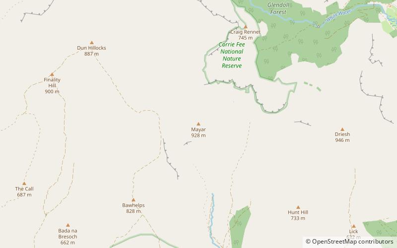
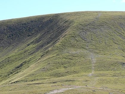
Mayar is a mountain in the Grampians, in Angus, Scotland. It is usually climbed together with its near neighbour, Driesh. At an elevation of 928m, it is the 564th highest peak in the British Isles and the 253rd tallest in Scotland. ()
Coordinates: 56°50'56"N, 3°14'47"W
Location
Scotland
ContactAdd
Social media
Add
Day trips
Mayar – popular in the area (distance from the attraction)
Nearby attractions include: Glas-allt-Shiel, Glas Maol, Corrie Fee, Broad Cairn.


