Cairn Bannoch, Cairngorms National Park
#76 among attractions in Cairngorms National Park
Facts and practical information
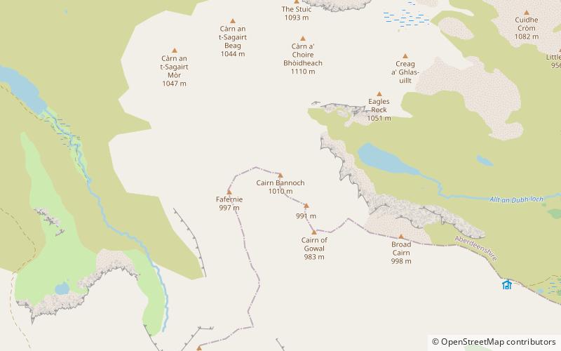
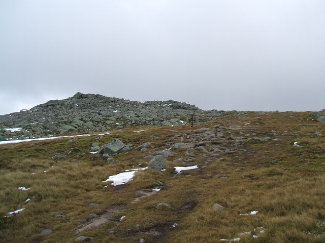
Cairn Bannoch is a mountain in the Grampians of Scotland, located about seventeen miles south of the River Dee near Balmoral. ()
Cairngorms National Park United Kingdom
Cairn Bannoch – popular in the area (distance from the attraction)
Nearby attractions include: Glenshee Ski Centre, Glas-allt-Shiel, Lochnagar, Mayar.
 Winter sport, Outdoor activities, Park
Glenshee Ski Centre, Braemar
155 min walk • Nestled in the breathtaking landscape of the Scottish Highlands, Glenshee Ski Centre stands as Scotland's largest ski area, offering a winter sports haven for enthusiasts and families alike. Located near the town of Braemar, Glenshee provides a diverse range of slopes...
 Hiking, Wilderness hut
Glas-allt-Shiel, Cairngorms National Park
84 min walk • Glas-allt-Shiel is a lodge on the Balmoral Estate by the shore of Loch Muick in Aberdeenshire, Scotland. In its present form it was built in 1868 by Queen Victoria, who called it Glassalt, to be what she called her "widow's house" where she could escape from the world following the death of her husband Albert.
 Mountain with hiking and bird watching
Lochnagar, Cairngorms National Park
66 min walk • Lochnagar or Beinn Chìochan is a mountain in the Grampians of Scotland, located about five miles south of the River Dee near Balmoral. It is a popular hill with hillwalkers, and is a noted venue for summer and winter climbing.
 Mountain
Mayar
142 min walk • Mayar is a mountain in the Grampians, in Angus, Scotland. It is usually climbed together with its near neighbour, Driesh. At an elevation of 928m, it is the 564th highest peak in the British Isles and the 253rd tallest in Scotland.
 Nature, Natural attraction, Mountain
Glas Maol, Cairngorms National Park
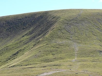
130 min walk • Glas Maol is a mountain in the southeastern part of the Highlands of Scotland. The broad, flat summit is divided between the council area of Aberdeenshire, Angus and Perth and Kinross, though the highest point lies wholly within Angus; indeed Glas Maol is the highest point in that council area.
 Nature, Natural attraction, Mountain
Càrn Aosda, Cairngorms National Park
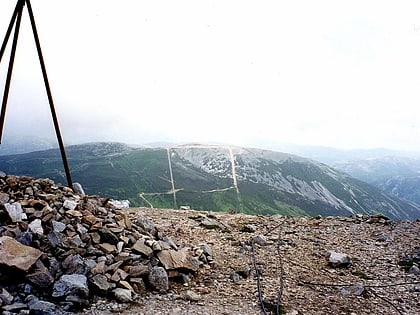
151 min walk • Càrn Aosda is a Scottish mountain situated 12.5 km south of the town of Braemar, in the county of Aberdeenshire. It stands near the summit of the Cairnwell Pass on the A93 road, in the midst of the Glenshee Ski Centre.
 Protected area
Corrie Fee
128 min walk • Corrie Fee is a glacier-carved corrie situated at the head of Glen Clova in the Angus Glens of Scotland. It forms part of Corrie Fee National Nature Reserve, which is managed by NatureScot and lies within the Cairngorms National Park.
 Nature, Natural attraction, Lake
Loch Muick, Cairngorms National Park
104 min walk • Loch Muick is an upland, freshwater loch lying approximately 5 mi south of Braemar, Scotland at the head of Glen Muick and within the boundary of the Balmoral estate.
 Nature, Natural attraction, Waterfall
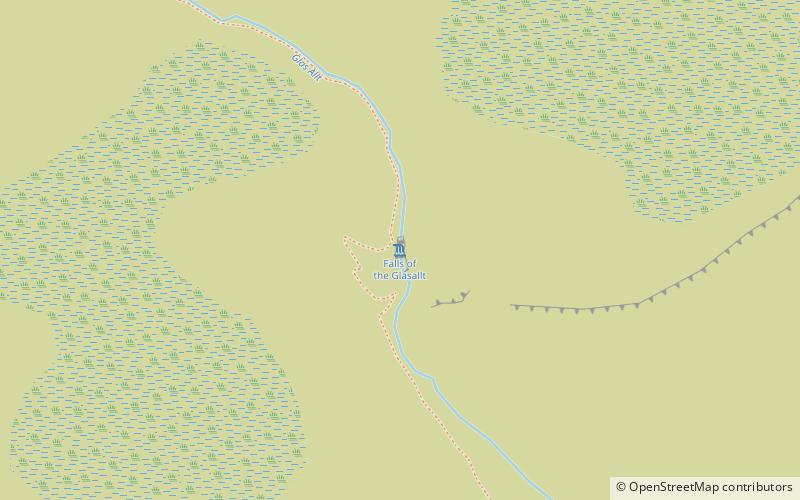
Falls of Glas Allt, Braemar
76 min walk • Falls of Glas Allt is a 50-metre waterfall near the head of Loch Muick, Aberdeenshire, Scotland. Queen Victoria liked to take walks here beside the stream flowing from Lochnagar down to Loch Muick.
 Nature, Natural attraction, Mountain
The Cairnwell, Cairngorms National Park
155 min walk • The Cairnwell is a mountain in the Eastern Highlands of Scotland, south of Braemar. It is often considered to be one of the most spoiled of the Munros, due to the Glenshee Ski Centre which covers the eastern slope of the mountain.
 Historical place, Ruins, Forts and castles
Kindrochit Castle, Braemar
178 min walk • Kindrochit Castle is a ruined 14th-century fortification in Aberdeenshire, Scotland. It is located at Braemar, in a strategic position on the banks of the Clunie Water, a tributary of the River Dee. The ruins are protected as a scheduled monument.
