Wyresdale Park, Forest of Bowland
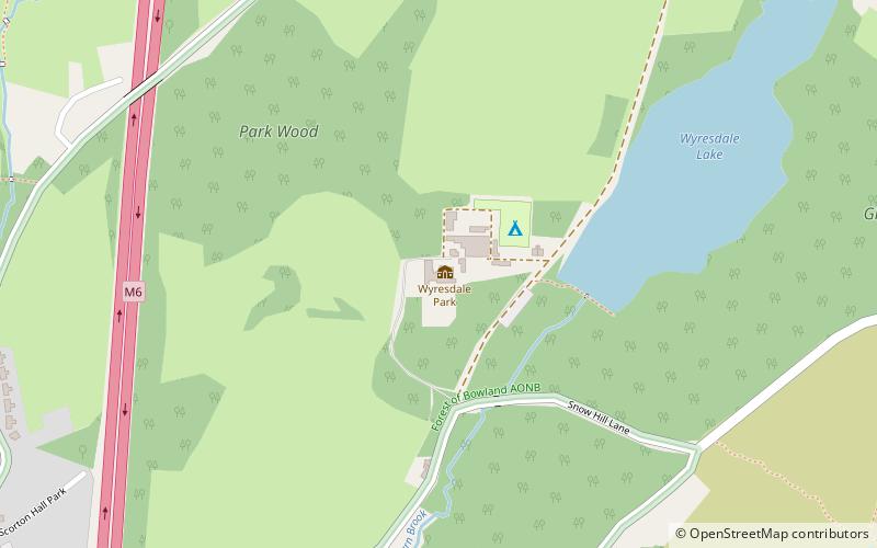
Map
Facts and practical information
Wyresdale Park is an English country house and licensed wedding ceremony venue located within the Forest of Bowland to the northeast of Scorton, Lancashire, England. ()
Architectural style: Gothic revivalCoordinates: 53°56'11"N, 2°45'3"W
Getting there by public transportation
Public transportation stops near this location
- Bus
 Bus
Bus
- Calculate routeClaylands Caravan Park 28 min walk
- Calculate routeMiddle Holly Cottage 29 min walk
- Calculate routeNew Holly 33 min walk
Day trips


Frequently Asked Questions (FAQ)
How to get to Wyresdale Park by public transport?
The nearest stations to Wyresdale Park:
Bus
Bus
- Claylands Caravan Park • Lines: 40, 40A, 41, 42 (28 min walk)
- Middle Holly Cottage • Lines: 40, 40A, 41, 42 (29 min walk)