Dams to Darnley Country Park, Glasgow
Map

Map

Facts and practical information
Dams to Darnley Country Park is a 1350 acre country park in East Renfrewshire and Glasgow, in Scotland comprising the historic greenspace between the towns of Barrhead and Newton Mearns in East Renfrewshire, and the areas of Darnley, Parkhouse and Southpark Village in south Glasgow. Being designated since 2000, it is one of the newest country parks in Scotland. ()
Elevation: 236 ft a.s.l.Coordinates: 55°47'17"N, 4°16'5"W
Day trips
Dams to Darnley Country Park – popular in the area (distance from the attraction)
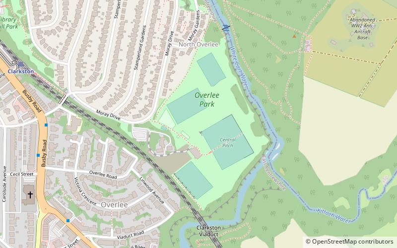
Nearby attractions include: Greenbank Garden, Busby, Overlee Playing Fields, Williamwood Golf Club.
Frequently Asked Questions (FAQ)
Which popular attractions are close to Dams to Darnley Country Park?
Nearby attractions include Overlee Playing Fields, Glasgow (1 min walk), Busby, Glasgow (12 min walk), Williamwood Parish Church, Glasgow (20 min walk).
How to get to Dams to Darnley Country Park by public transport?
The nearest stations to Dams to Darnley Country Park:
Train
Train
- Clarkston (9 min walk)
- Busby (15 min walk)


