Northampton Medieval Synagogue, Northampton
Map
Facts and practical information
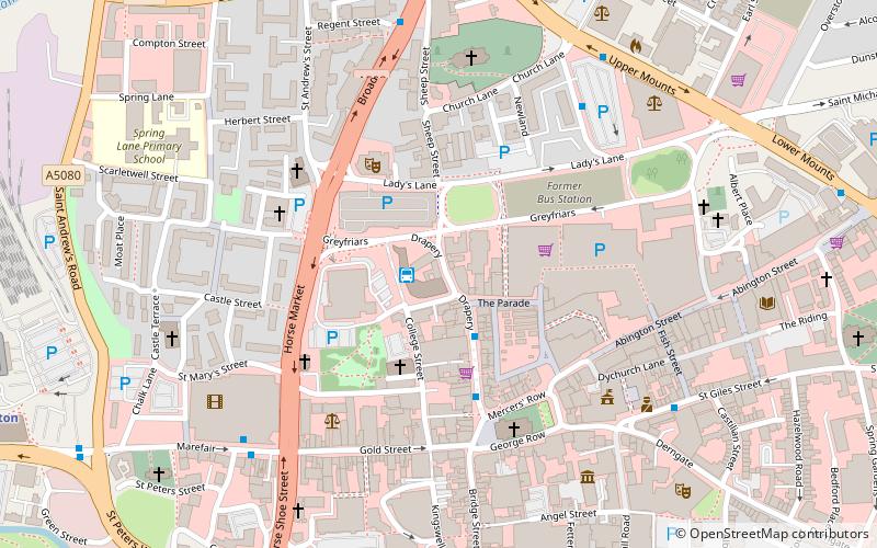
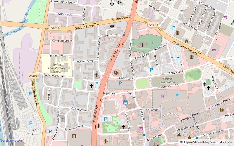
The Northampton Medieval Synagogue is an archaeological site and medieval synagogue building in Sheep Street, Northampton, England. ()
Coordinates: 52°14'20"N, 0°53'53"W
Address
CastleNorthampton
ContactAdd
Social media
Add
Getting there by public transportation
Public transportation stops near this location
- Train
 Train
Train
- Calculate routeNorthampton 11 min walk
Day trips


Frequently Asked Questions (FAQ)
Which popular attractions are close to Northampton Medieval Synagogue?
Nearby attractions include Northampton Abbey of St James, Northampton (3 min walk), All Saints' Church, Northampton (4 min walk), Northampton War Memorial, Northampton (4 min walk), Northampton's tunnels, Northampton (4 min walk).
How to get to Northampton Medieval Synagogue by public transport?
The nearest stations to Northampton Medieval Synagogue:
Train
Train
- Northampton (11 min walk)