Collyhurst, Manchester
Map

Gallery

Facts and practical information
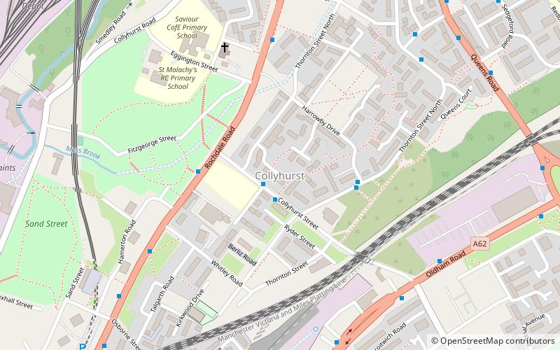
Collyhurst is an inner city area of Manchester, England, 1.5 miles northeast of the city centre on Rochdale Road and Oldham Road, bounded by Smedley, Harpurhey and Monsall to the north, Miles Platting to the east, Ancoats to the south, and the River Irk to the west. Prominent buildings include two Roman Catholic churches, St Patrick's and St Malachy's. ()
Coordinates: 53°29'46"N, 2°13'12"W
Address
HarpurheyManchester
ContactAdd
Social media
Add
Day trips
Collyhurst – popular in the area (distance from the attraction)
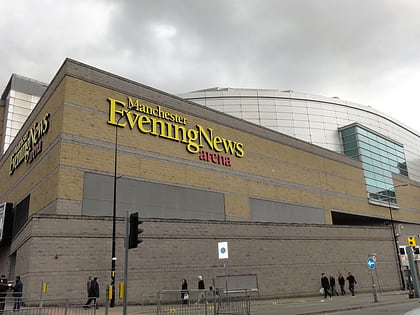
Nearby attractions include: Oldham Street, City of Manchester Stadium, Manchester Arndale, Manchester Arena.
Frequently Asked Questions (FAQ)
Which popular attractions are close to Collyhurst?
Nearby attractions include Manchester Fort, Manchester (16 min walk), Manchester Jewish Museum, Manchester (19 min walk), Museum of Transport, Manchester (20 min walk), Cheetham, Manchester (20 min walk).
How to get to Collyhurst by public transport?
The nearest stations to Collyhurst:
Bus
Tram
Train
Bus
- Queens Road/Sedgeford Road • Lines: 53 (8 min walk)
- Rochdale Road/Queens Road • Lines: 53 (11 min walk)
Tram
- Queens Road • Lines: Altr, Bury, Picc (13 min walk)
- Monsall • Lines: EDid, Roch, Shaw (14 min walk)
Train
- Manchester Victoria (28 min walk)

 Metrolink
 Metrolink / Rail


