Possilpark, Glasgow
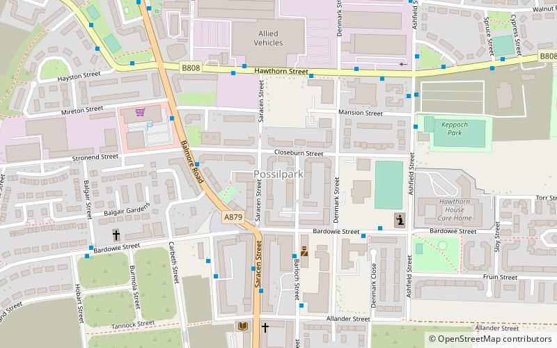
Map
Gallery
Facts and practical information
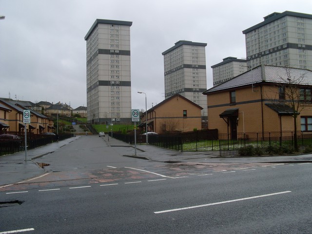
Possilpark is a district in the Scottish city of Glasgow, situated north of the River Clyde and centred around Saracen Street. The area developed around Saracen Foundry of Walter MacFarlane & Co. which was the main employer. In the wake of the Saracen Foundry's closure in 1967, this part of Glasgow became one of the poorest in the United Kingdom, and decades later deprivation and crime rates remain high. ()
Coordinates: 55°53'5"N, 4°15'13"W
Address
Springburn (Cowlairs)Glasgow
ContactAdd
Social media
Add
Day trips
Possilpark – popular in the area (distance from the attraction)
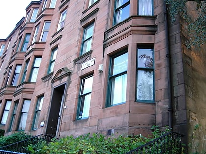
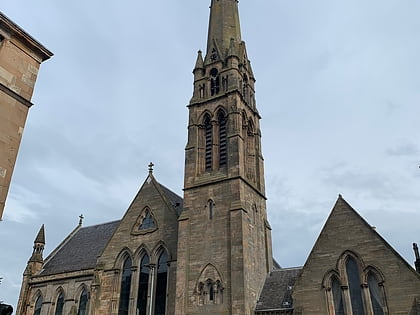
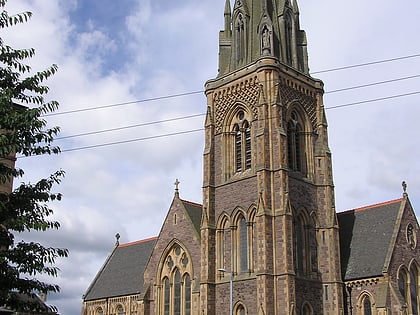
Nearby attractions include: Glasgow University Union, Queen's Cross Church, Tenement House, Websters Theatre.
Frequently Asked Questions (FAQ)
Which popular attractions are close to Possilpark?
Nearby attractions include Ruchill, Glasgow (17 min walk), Ruchill Park, Glasgow (20 min walk), St Columba, Glasgow (20 min walk), The Glue Factory, Glasgow (20 min walk).
How to get to Possilpark by public transport?
The nearest stations to Possilpark:
Train
Bus
Metro
Train
- Ashfield (9 min walk)
- Possilpark and Parkhouse (11 min walk)
Bus
- Maryhill Road / Bonawe Street • Lines: 17, 60, 60A, 61, 8, C8, N60 (21 min walk)
- Mayfield Street / Ruchill Street • Lines: 90 (21 min walk)
Metro
- St Georges Cross • Lines: Subway (29 min walk)
- Cowcaddens • Lines: Subway (31 min walk)


