Newcastle City Centre, Newcastle upon Tyne
Map
Gallery
Facts and practical information
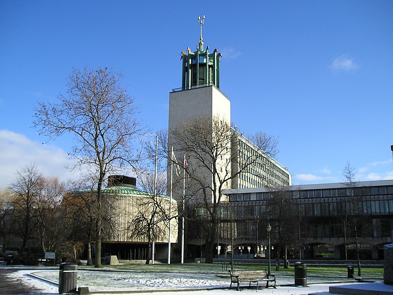
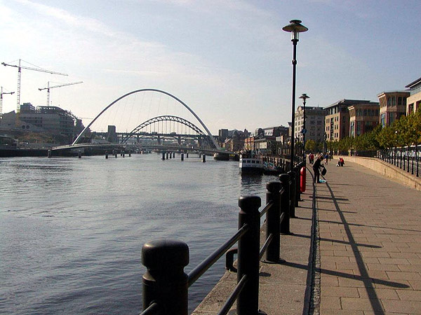
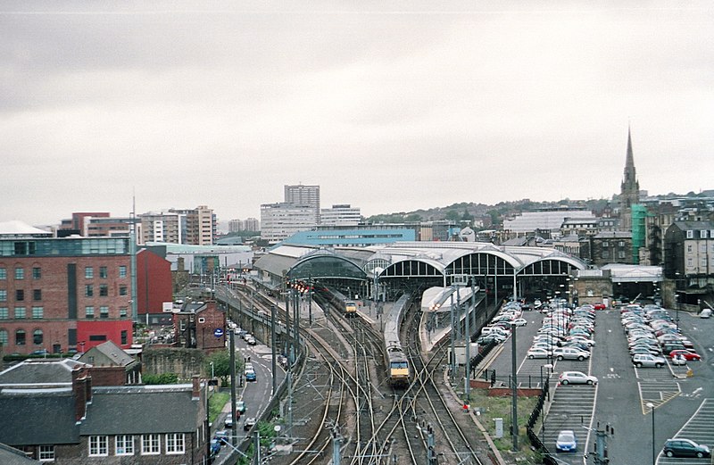
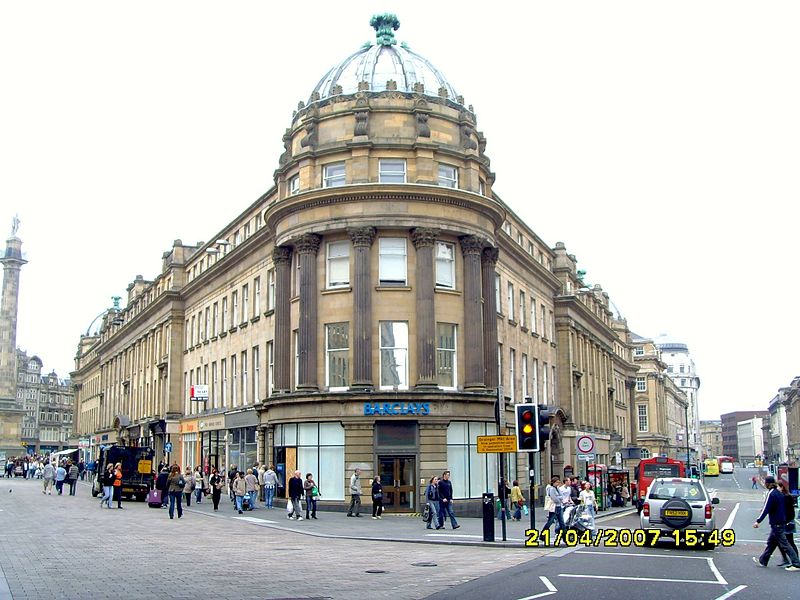
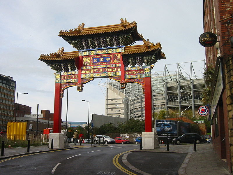
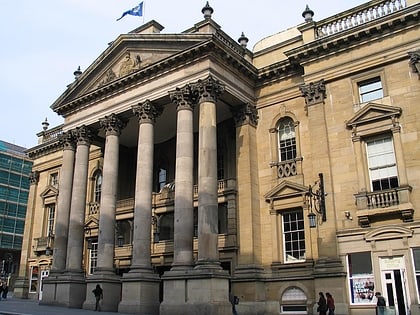
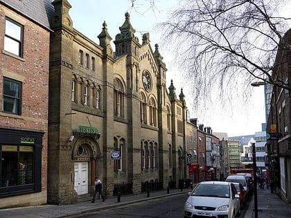
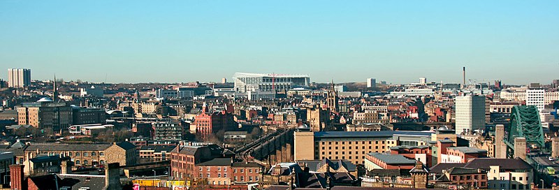
Newcastle City Centre is the city centre district of Newcastle upon Tyne, England. It is the historical heart of the city and serves as the main cultural and commercial centre of the North East England region. The city centre forms the core of the Tyneside conurbation. ()
Coordinates: 54°58'33"N, 1°36'37"W
Address
WestgateNewcastle upon Tyne
ContactAdd
Social media
Add
Day trips
Newcastle City Centre – popular in the area (distance from the attraction)
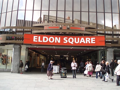
Nearby attractions include: Northumberland Street, Great North Museum: Hancock, Great North Museum, Eldon Square Shopping Centre.
Frequently Asked Questions (FAQ)
Which popular attractions are close to Newcastle City Centre?
Nearby attractions include Newcastle City Library, Newcastle upon Tyne (2 min walk), Laing Art Gallery, Newcastle upon Tyne (2 min walk), Northumberland Street, Newcastle upon Tyne (3 min walk), Blue Carpet, Newcastle upon Tyne (3 min walk).
How to get to Newcastle City Centre by public transport?
The nearest stations to Newcastle City Centre:
Bus
Light rail
Train
Bus
- John Dobson Street • Lines: 1, 33, 62, 63 (3 min walk)
- New Bridge Street • Lines: 62, 63, X63 (3 min walk)
Light rail
- Monument • Lines: Green, Yellow (6 min walk)
- Haymarket • Lines: Green, Yellow (6 min walk)
Train
- Manors (8 min walk)
- Newcastle (15 min walk)


