Beinn Ruadh, Garelochhead
#1 among attractions in Garelochhead


Facts and practical information
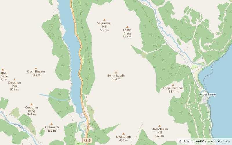
Beinn Ruadh is a mountain of Argyll and Bute in Scotland. Part of the Grampian Mountains, it lies between Loch Eck and Loch Long in Argyll Forest Park. ()
Garelochhead United Kingdom
Beinn Ruadh – popular in the area (distance from the attraction)
Nearby attractions include: Benmore Botanic Garden, Carrick Castle, Kilmun Parish Church and Argyll Mausoleum, Puck's Glen.
 Botanical garden
Benmore Botanic Garden, Loch Lomond and The Trossachs National Park
54 min walk • Benmore Botanic Garden is a large botanical garden situated in Strath Eachaig at the foot of Beinn Mhòr, on the Cowal peninsula, in Argyll and Bute, Scotland.
 Forts and castles, Vernacular architecture
Carrick Castle, Loch Lomond and The Trossachs National Park
115 min walk • Carrick Castle is a 14th-century tower house on the west shore of Loch Goil on the Cowal peninsula in Argyll and Bute, Scotland. It is located between Cuilmuich and Carrick, 4 miles south of Lochgoilhead. The castle stands on a rocky peninsula, and was formerly defended to landward by a ditch and drawbridge.
 Church
Kilmun Parish Church and Argyll Mausoleum, Loch Lomond and The Trossachs National Park
101 min walk • Kilmun Parish Church and Argyll Mausoleum in Kilmun, Argyll and Bute, Scotland, consists of St Munn's Church, as well as the adjacent mausoleum of the Dukes of Argyll and a historically significant churchyard.
 Neighbourhood
Puck's Glen, Loch Lomond and The Trossachs National Park
69 min walk • Puck's Glen is a river-formed ravine on the Cowal peninsula in Argyll and Bute, Scotland, with a popular scenic walking trail beside the Eas Mòr stream.
 Nature, Natural attraction, Mountain
Beinn Mhòr, Loch Lomond and The Trossachs National Park
85 min walk • Beinn Mhòr is the highest mountain on the Cowal Peninsula west of Loch Eck in Argyll and Bute, Scotland. It has a high topographic prominence to height ratio and consequently commands a good all round view.
 Mountain
Creag Tharsuinn
118 min walk • Creag Tharsuinn is a mountain in the Arrochar Alps of Scotland. It lies in the Cowal peninsula, Argyll and Bute. Taking the form of a long ridge, the peak rises steeply above the surrounding glens. It is usually climbed from Garvie in Glendaruel. The nearest village is Kilmodan.
 Harbor
Finnart Oil Terminal
170 min walk • Finnart Oil Terminal, also known as Finnart Ocean Terminal or Chap Point, is an oil depot on the eastern shore of Loch Long, Firth of Clyde on the west coast of Scotland, about 2 miles to the north of Garelochhead on the A814 road to Arrochar.
 Park
ParkLoch Goil
151 min walk • Loch Goil; is a small sea loch forming part of the coast of the Cowal peninsula in Argyll and Bute, Scotland. The sea loch is entirely within the Loch Lomond and The Trossachs National Park. It is an arm of Loch Long. The village of Lochgoilhead stands at its head.
 Nature, Natural attraction, Mountain
The Saddle, Loch Lomond and The Trossachs National Park
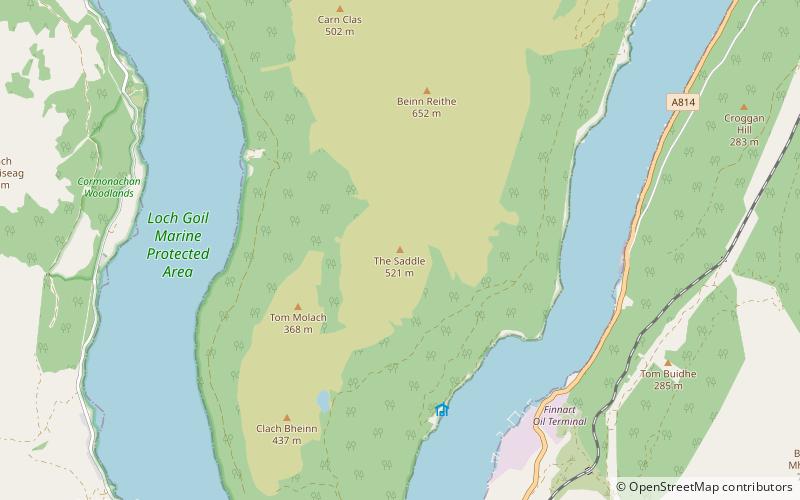
175 min walk • The Saddle is a mountain near Lochgoilhead in The Ardgoil Peninsula in Argyll. It reaches a height of 521m and is in the Arrochar Alps.
 Nature, Natural attraction, Mountain
Beinn Reithe, Loch Lomond and The Trossachs National Park
181 min walk • Beinn Reithe is a mountain in Argyll in the Scottish Highlands and forms part of the Ardgoil Peninsula and Arrochar Alps. Beinn Reithe is located between Loch Goil and Loch Long; it reaches a height just over 2000 ft.
 Village
Kilcreggan
178 min walk • Visitors to Kilcreggan can explore the picturesque landscapes by taking leisurely strolls along the waterfront promenade or embarking on scenic hikes in the nearby hills. The village is also a gateway to the beautiful Loch Lomond and The Trossachs National Park, where...
