Marchmont Street, London
Map
Map

Facts and practical information
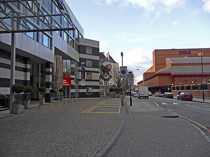
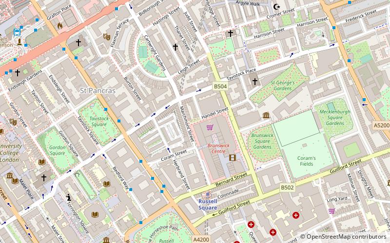
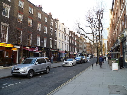
Marchmont Street is located in the London Borough of Camden. It is the main high street serving southern Kings Cross and eastern Bloomsbury. It links the Brunswick Centre and Russell Square tube station at its south to Tavistock Place at its north, where it becomes Cartwright Gardens. ()
Coordinates: 51°31'30"N, 0°7'29"W
Address
Camden (Bloomsbury)London
ContactAdd
Social media
Add
Day trips
Marchmont Street – popular in the area (distance from the attraction)
Nearby attractions include: Foundling Museum, Russell Square, Shaw Theatre, Euston Tap.
Frequently Asked Questions (FAQ)
Which popular attractions are close to Marchmont Street?
Nearby attractions include Brunswick Centre, London (2 min walk), Cartwright Gardens, London (3 min walk), Russell Square, London (4 min walk), Brunswick Square, London (4 min walk).
How to get to Marchmont Street by public transport?
The nearest stations to Marchmont Street:
Metro
Bus
Train
Ferry
Metro
- Russell Square • Lines: Piccadilly (4 min walk)
- King's Cross St Pancras • Lines: Circle, Hammersmith & City, Metropolitan, Northern, Piccadilly, Victoria (10 min walk)
Bus
- British Library • Lines: 30 (7 min walk)
- St Pancras International Station • Lines: 30 (8 min walk)
Train
- London St. Pancras International (13 min walk)
- London Euston (13 min walk)
Ferry
- Blackfriars Pier • Lines: Rb6 (37 min walk)
 Tube
Tube

