Camden Town Hall, London
Map
Map

Facts and practical information
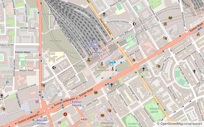
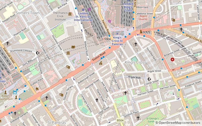
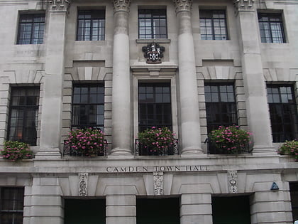
Camden Town Hall, known as St Pancras Town Hall until 1965, is the headquarters of Camden London Borough Council. The main entrance is in Judd street with its northern elevation extending along Euston Road, opposite the main front of St Pancras railway station. It has been Grade II listed since 1996. ()
Coordinates: 51°31'45"N, 0°7'31"W
Day trips
Camden Town Hall – popular in the area (distance from the attraction)
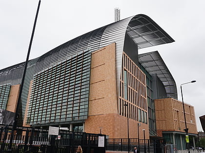
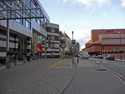
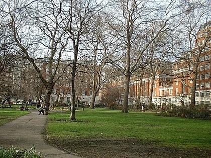
Nearby attractions include: Foundling Museum, Russell Square, Francis Crick Institute, Shaw Theatre.
Frequently Asked Questions (FAQ)
Which popular attractions are close to Camden Town Hall?
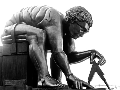
Nearby attractions include Statue of John Betjeman, London (3 min walk), Newton, London (3 min walk), Shaw Theatre, London (4 min walk), British Library, London (4 min walk).
How to get to Camden Town Hall by public transport?
The nearest stations to Camden Town Hall:
Bus
Metro
Train
Bus
- St Pancras International Station • Lines: 30 (1 min walk)
- British Library • Lines: 30 (3 min walk)
Metro
- King's Cross St Pancras • Lines: Circle, Hammersmith & City, Metropolitan, Northern, Piccadilly, Victoria (4 min walk)
- Euston • Lines: Northern, Victoria (9 min walk)
Train
- London St. Pancras International (6 min walk)
- London King's Cross (7 min walk)
 Tube
Tube

