Tottenham Town Hall, London
Map

Map

Facts and practical information
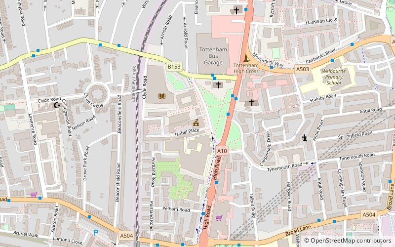
Tottenham Town Hall is a municipal building in Town Hall Approach Road, Tottenham, London. It is a Grade II listed building. ()
Coordinates: 51°35'14"N, 0°4'21"W
Address
Haringey (Tottenham Green)London
ContactAdd
Social media
Add
Day trips
Tottenham Town Hall – popular in the area (distance from the attraction)
Nearby attractions include: Northumberland Development Project, Bruce Castle, Tottenham Hotspur Stadium, St Benet Fink Church.
Frequently Asked Questions (FAQ)
Which popular attractions are close to Tottenham Town Hall?
Nearby attractions include Tottenham High Cross, London (4 min walk), St Philip the Apostle, London (13 min walk), Markfield Beam Engine and Museum, London (16 min walk), Downhills Park, London (20 min walk).
How to get to Tottenham Town Hall by public transport?
The nearest stations to Tottenham Town Hall:
Bus
Metro
Train
Bus
- Tottenham Town Hall • Lines: 149, 243, 259, 279, 318, 349, 476, 76, N279, N73, W4 (2 min walk)
- Tottenham Bus Garage • Lines: 230, 341 (3 min walk)
Metro
- Seven Sisters • Lines: Victoria (8 min walk)
- Tottenham Hale • Lines: Victoria (14 min walk)
Train
- Bruce Grove (12 min walk)
- South Tottenham (13 min walk)

 Tube
Tube


