Walthamstow Marshes, London
Map
Gallery
Facts and practical information
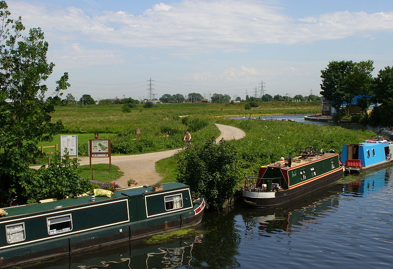
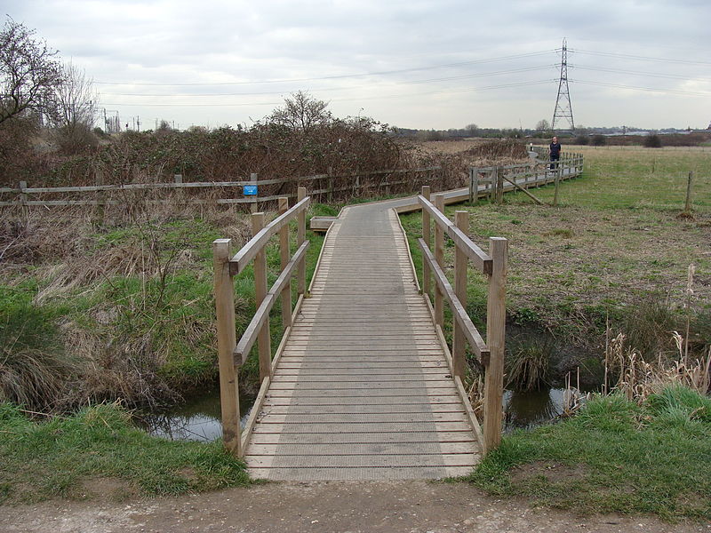
Walthamstow Marshes, is a 36.7 hectare biological Site of Special Scientific Interest in Walthamstow in the London Borough of Waltham Forest. It was once an area of lammas land – common land used for growing crops and grazing cattle. ()
Elevation: 13 ft a.s.l.Coordinates: 51°34'12"N, 0°3'2"W
Address
Watham Forest (Walthamstow)London
ContactAdd
Social media
Add
Day trips
Walthamstow Marshes – popular in the area (distance from the attraction)
Nearby attractions include: Abney Park, Lee Valley Ice Centre, The Mall Walthamstow, Abney Park Chapel.
Frequently Asked Questions (FAQ)
Which popular attractions are close to Walthamstow Marshes?
Nearby attractions include Bomb Crater Pond, London (6 min walk), Springfield Park, London (10 min walk), Leyton Marsh, London (13 min walk), West Warwick Reservoir, London (15 min walk).
How to get to Walthamstow Marshes by public transport?
The nearest stations to Walthamstow Marshes:
Bus
Train
Metro
Bus
- Leaside Road • Lines: 393 (7 min walk)
- Mount Pleasant Hill • Lines: 393 (11 min walk)
Train
- Lea Bridge (16 min walk)
- Clapton (17 min walk)
Metro
- Blackhorse Road • Lines: Victoria (31 min walk)
- Seven Sisters • Lines: Victoria (35 min walk)



 Tube
Tube

