Municipal Buildings, Dorchester
Map

Map

Facts and practical information
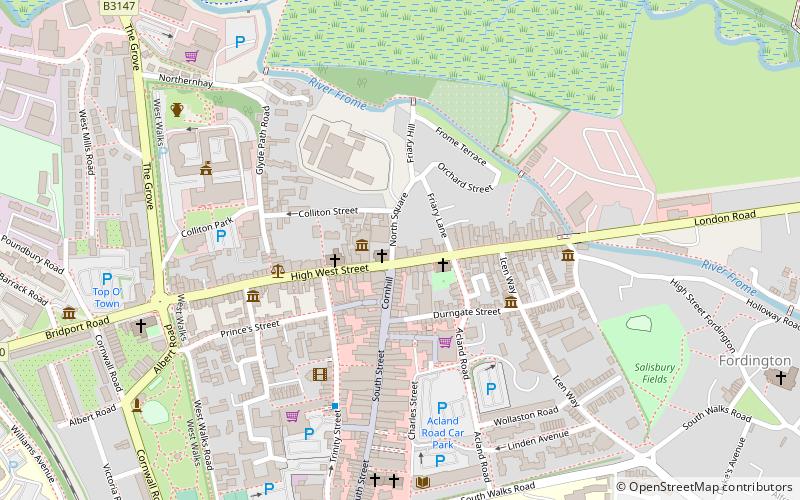
The Municipal Buildings are based on the north side of High East Street in Dorchester, Dorset, England. The structure, which was the headquarters of Dorchester Borough Council, is a Grade II* listed building. ()
Coordinates: 50°42'56"N, 2°26'11"W
Address
Dorchester
ContactAdd
Social media
Add
Day trips
Municipal Buildings – popular in the area (distance from the attraction)
Nearby attractions include: Dorset County Museum, The Keep, Max Gate, Dorset Teddy Bear Museum.
Frequently Asked Questions (FAQ)
Which popular attractions are close to Municipal Buildings?
Nearby attractions include Dorset County Museum, Dorchester (1 min walk), Dorchester Castle, Dorchester (3 min walk), HM Prison Dorchester, Dorchester (3 min walk), Shire Hall, Dorchester (3 min walk).
How to get to Municipal Buildings by public transport?
The nearest stations to Municipal Buildings:
Train
Train
- Dorchester West (11 min walk)
- Dorchester South (12 min walk)


