Roeburndale, Forest of Bowland
Map

Map

Facts and practical information
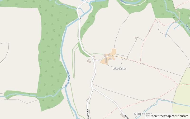
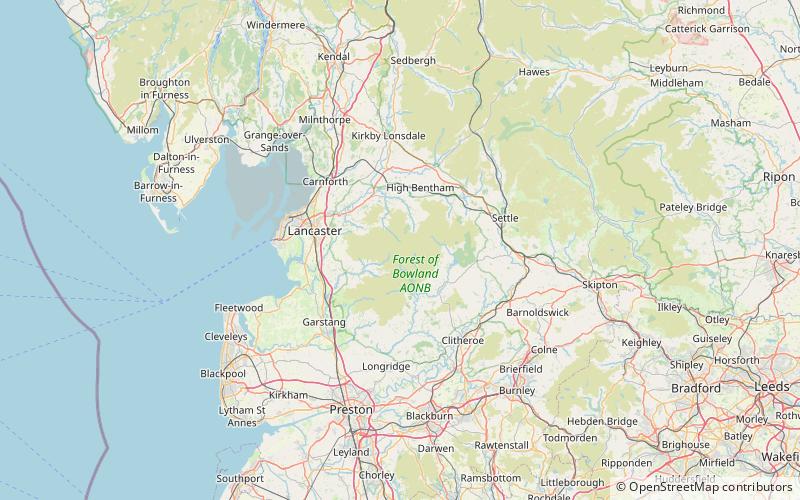
Roeburndale is a civil parish in the City of Lancaster and the English county of Lancashire. In 2001 it had a population of 76. In the 2011 census Roeburndale was grouped with Claughton. The parish includes the village of Salter. The River Roeburn flows through the parish. ()
Address
Forest of Bowland
ContactAdd
Social media
Add
Day trips
Roeburndale – popular in the area (distance from the attraction)
Nearby attractions include: Crook o' Lune, Great Stone of Fourstones, Wray Chapel, Clougha Pike.


