Darley Bridge, Darley Dale
Map

Map

Facts and practical information
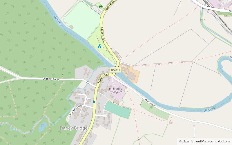
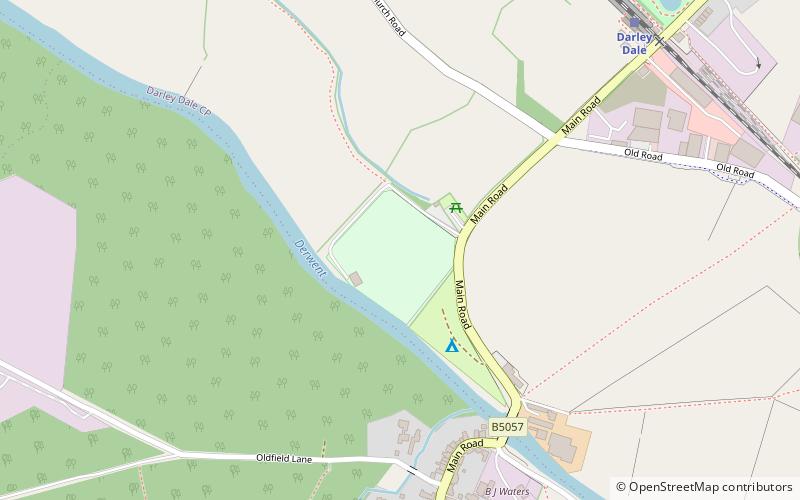
Darley Bridge is a village in Derbyshire, located in South Darley parish in the Derbyshire Dales, bordering the Peak District. The village lies at the bottom of the hill below Wensley where the road crosses the River Derwent. A grade II* listed stone bridge spans the river and links the village with Darley Dale. Close to the bridge, the road winds between terraced stone houses in the oldest part of the village. The only public house in the parish, The Three Stags Heads, is in this area. ()
Coordinates: 53°9'18"N, 1°35'49"W
Address
Darley Dale
ContactAdd
Social media
Add
Day trips
Darley Bridge – popular in the area (distance from the attraction)
Nearby attractions include: St Helen's Church, St Mary the Virgin's Church, Old Millclose Mine, Station Road.


