Old Millclose Mine, Peak District
Map

Map

Facts and practical information
Old Millclose Mine was a lead mine near Wensley, in Derbyshire, England. The engine house of the mine survives as a ruin; it is a scheduled monument. ()
Coordinates: 53°9'11"N, 1°36'57"W
Address
Peak District
ContactAdd
Social media
Add
Day trips
Old Millclose Mine – popular in the area (distance from the attraction)
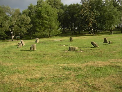
Nearby attractions include: Nine Ladies, St John the Baptist's Church, Winster Market House, Limestone Way.
Frequently Asked Questions (FAQ)
How to get to Old Millclose Mine by public transport?
The nearest stations to Old Millclose Mine:
Train
Bus
Train
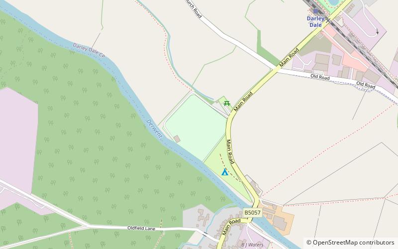
- Darley Dale (27 min walk)
Bus
- Grouse Inn • Lines: 6.1 (31 min walk)
- Broad Walk • Lines: 6.1 (31 min walk)


