Lippitts Hill, Loughton
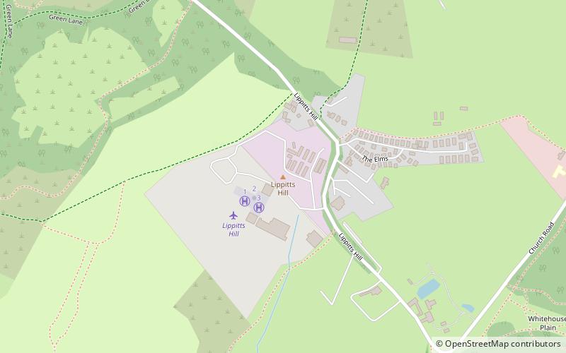
Map
Facts and practical information
Lippitts Hill is a hill located at High Beach, Epping Forest, Essex. It has played several historic roles in the defence and policing of London. ()
Coordinates: 51°39'18"N, 0°1'7"E
Address
Loughton
ContactAdd
Social media
Add
Getting there by public transportation
Public transportation stops near this location
- Bus
 Bus
Bus
- Calculate routeMill Lane 29 min walk
- Calculate routeHail & Ride Hawkswood School 35 min walk
Day trips


Frequently Asked Questions (FAQ)
Which popular attractions are close to Lippitts Hill?
Nearby attractions include Gilwell Park, Loughton (21 min walk), Gilwell Oak, Loughton (21 min walk).
How to get to Lippitts Hill by public transport?
The nearest stations to Lippitts Hill:
Bus
Bus
- Mill Lane • Lines: 215 (29 min walk)
- Hail & Ride Hawkswood School • Lines: 379 (35 min walk)