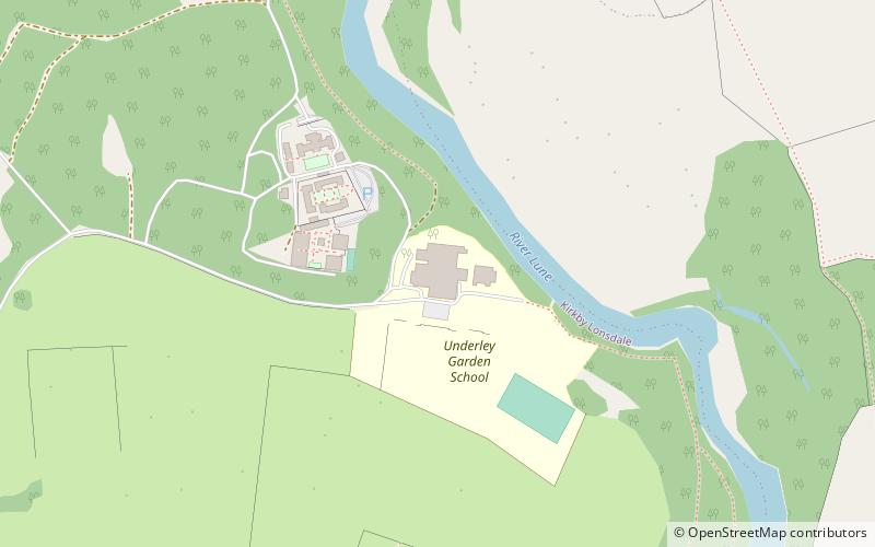
Underley Hall, Kirkby Lonsdale
Map
Facts and practical information
Underley Hall is a large country house near Kirkby Lonsdale in Cumbria. It was designed in a Jacobean Revival style by the architect George Webster for Alexander Nowell and built between 1825 and 1828, on the site of an earlier house. An additional wing and tower, designed by E. G. Paley and Hubert Austin, were added in 1874. ()
Coordinates: 54°12'57"N, 2°35'31"W
Address
Kirkby Lonsdale
ContactAdd
Social media
Add
Day trips


Frequently Asked Questions (FAQ)
Which popular attractions are close to Underley Hall?
Nearby attractions include Holy Trinity Church, Yorkshire Dales National Park (17 min walk), St Mary's Church, Kirkby Lonsdale (22 min walk).