Grosvenor Gardens, London
Map
Gallery
Facts and practical information
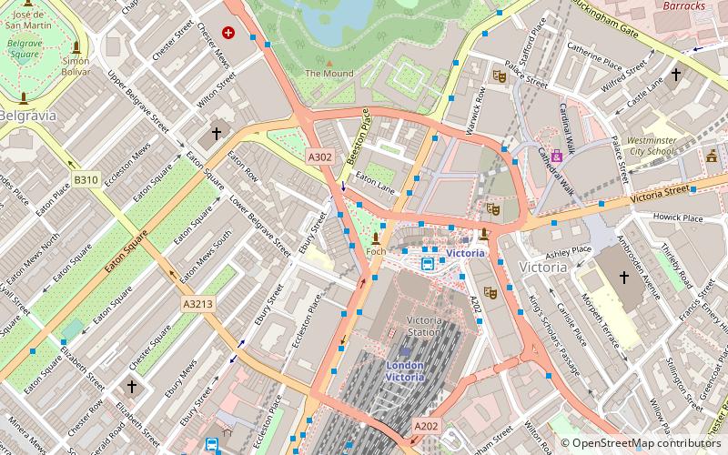
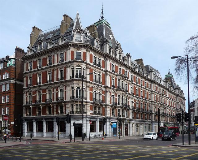
Grosvenor Gardens is the name given to two triangular parks in Belgravia, London, faced on their western and eastern sides by streets of the same name. Both roads run roughly north to south from Hobart Place and Grosvenor Place to Buckingham Palace Road. ()
Elevation: 59 ft a.s.l.Coordinates: 51°29'48"N, 0°8'44"W
Address
City of Westminster (Warwick)London
ContactAdd
Social media
Add
Day trips
Grosvenor Gardens – popular in the area (distance from the attraction)
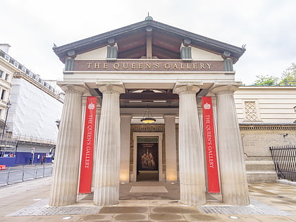
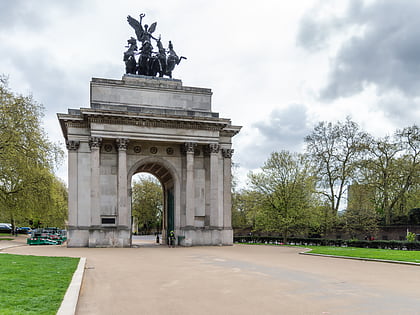
Nearby attractions include: Buckingham Palace, Westminster Cathedral, Queen's Gallery, Wellington Arch.
Frequently Asked Questions (FAQ)
Which popular attractions are close to Grosvenor Gardens?
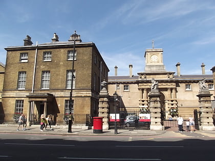
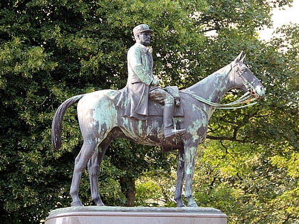
Nearby attractions include Foch, London (1 min walk), Rifle Brigade War Memorial, London (4 min walk), Little Ben, London (4 min walk), Royal Mews, London (4 min walk).
How to get to Grosvenor Gardens by public transport?
The nearest stations to Grosvenor Gardens:
Bus
Metro
Train
Ferry
Bus
- Grosvenor Gardens • Lines: 38, N38 (1 min walk)
- Victoria Station Oxford Tube • Lines: Tube (1 min walk)
Metro
- Victoria • Lines: Circle, District, Victoria (3 min walk)
- Sloane Square (14 min walk)
Train
- London Victoria (4 min walk)
- Charing Cross (31 min walk)
Ferry
- Battersea Power Station Pier • Lines: Rb1, Rb2, Rb6 (23 min walk)
- Millbank Millennium Pier • Lines: Rb2 (25 min walk)

 Tube
Tube

