Ogston Reservoir, Matlock
Map

Gallery

Facts and practical information
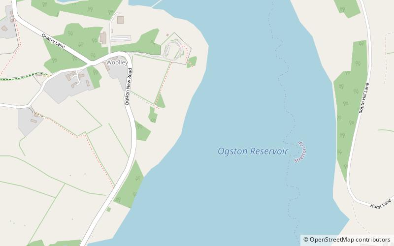
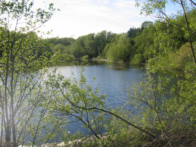
Ogston Reservoir is a reservoir operated by Severn Trent Water in Derbyshire. It is near the villages of Brackenfield and Ashover and the town of Clay Cross. ()
Elevation: 390 ft a.s.l.Coordinates: 53°8'18"N, 1°26'28"W
Address
Matlock
ContactAdd
Social media
Add
Day trips
Ogston Reservoir – popular in the area (distance from the attraction)
Nearby attractions include: National Tramway Museum, Leawood Pump House, Riber Castle, Wingfield Manor.
Frequently Asked Questions (FAQ)
How to get to Ogston Reservoir by public transport?
The nearest stations to Ogston Reservoir:
Bus
Bus
- Hawthorne Avenue • Lines: Comet (24 min walk)
- The Greyhound • Lines: Comet (29 min walk)


