Kennet and Lambourn Floodplain, Kintbury
Map

Map

Facts and practical information
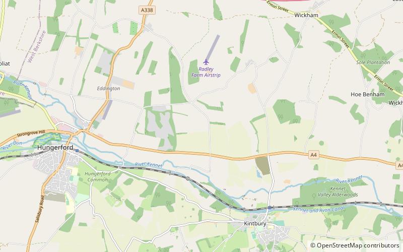
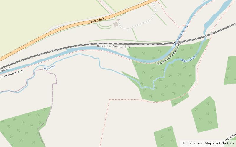
Kennet and Lambourn Floodplain is a 23.4-hectare biological Site of Special Scientific Interest in six widely separated areas in the floodplains of the River Lambourn in Berkshire and the River Kennet in Wiltshire, England. It is a Nature Conservation Review site and part of the Kennet and Lambourn Floodplain Special Area of Conservation. One of the areas, Rack Marsh, is managed by the Berkshire, Buckinghamshire and Oxfordshire Wildlife Trust. ()
Coordinates: 51°25'12"N, 1°28'8"W
Address
Kintbury
ContactAdd
Social media
Add
Day trips
Kennet and Lambourn Floodplain – popular in the area (distance from the attraction)
Nearby attractions include: Wayfarer's Walk, Dun Mill Lock, Hungerford Lock, Hungerford Marsh Lock.


