Yoker, Glasgow
Map
Map

Facts and practical information
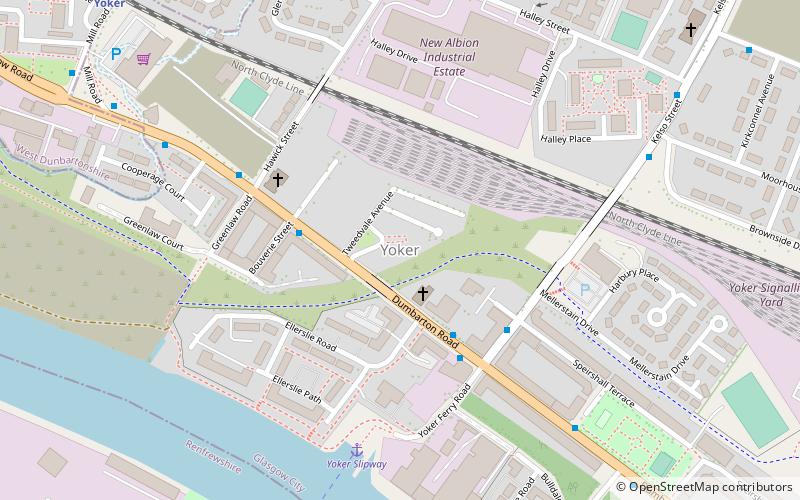
Yoker is an area of Glasgow, Scotland, on the northern bank of the Clyde east of Clydebank, 5 miles west of the city centre. From the fourteenth century, the Renfrew Ferry has linked Yoker with Renfrew on the south bank. Although shipbuilding has declined, the nearby Yarrows shipyard, now owned by BAE Systems, is still in operation. ()
Coordinates: 55°53'22"N, 4°22'48"W
Address
YokerGlasgow
ContactAdd
Social media
Add
Day trips
Yoker – popular in the area (distance from the attraction)
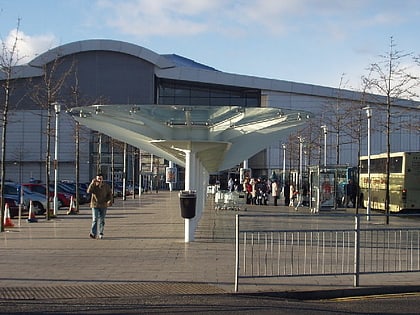
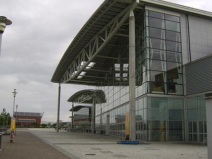
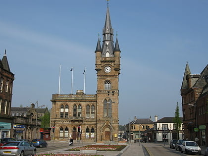
Nearby attractions include: Braehead, Braehead Arena, Titan Crane, Renfrew Town Hall.
Frequently Asked Questions (FAQ)
Which popular attractions are close to Yoker?
Nearby attractions include Renfrew Castle, Glasgow (18 min walk), Renfrew Town Hall, Clydebank (20 min walk).
How to get to Yoker by public transport?
The nearest stations to Yoker:
Bus
Train
Bus
- Dumbarton Road / Bouverie Street • Lines: 2 (3 min walk)
Train
- Yoker (9 min walk)
- Garscadden (16 min walk)

