Eype Mouth, West Bay

Map
Facts and practical information
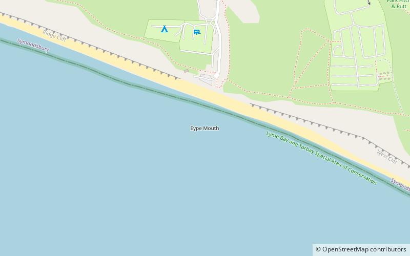
Eype Mouth is a natural break in a line of sea cliffs on the Jurassic Coast World Heritage Site in west Dorset on the south coast of England. The small River Eype drains into the sea at this point. Eype means 'a steep place' in Old English. The village of Eype lies just upstream of the rivermouth, which is reached by a single narrow lane which runs down through Lower Eype to a shingle beach with car park. ()
Coordinates: 50°42'55"N, 2°47'2"W
Address
West Bay
ContactAdd
Social media
Add
Day trips
Eype Mouth – popular in the area (distance from the attraction)
Nearby attractions include: Bridport Museum, Bridport Arts Centre, St. Mary's Church, East Beach.


