Bestwood Park, Nottingham
Map
Gallery
Facts and practical information
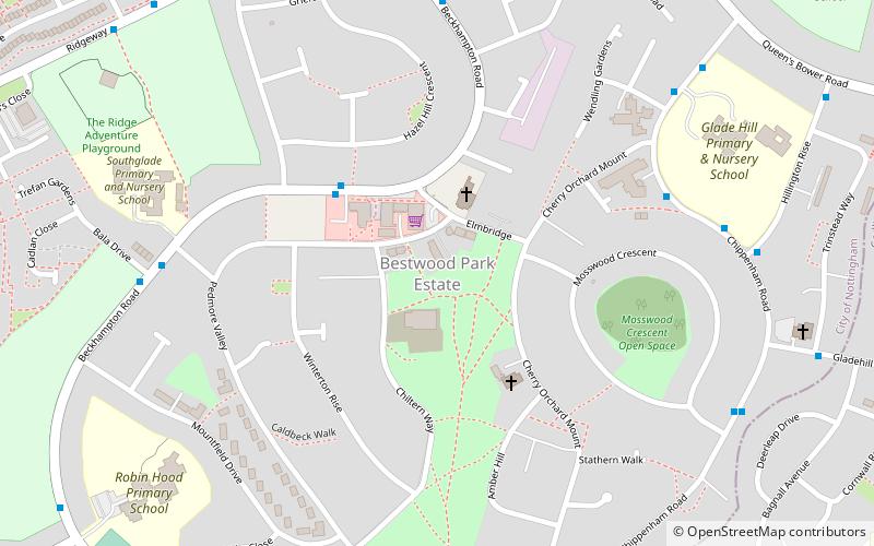
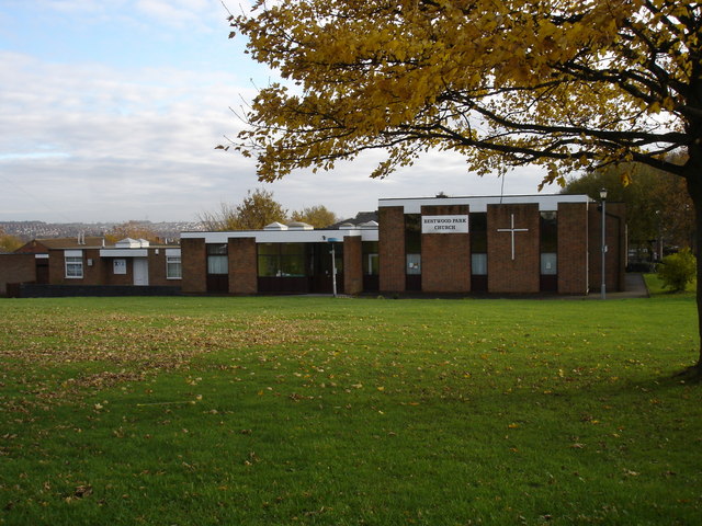
Bestwood Park is a large post-war council estate located to the north of the city of Nottingham, England, and roughly bounded by Beckhampton Road, Oxclose Lane and Queens Bower Road, ()
Coordinates: 53°0'7"N, 1°9'21"W
Address
BestwoodNottingham
ContactAdd
Social media
Add
Day trips
Bestwood Park – popular in the area (distance from the attraction)
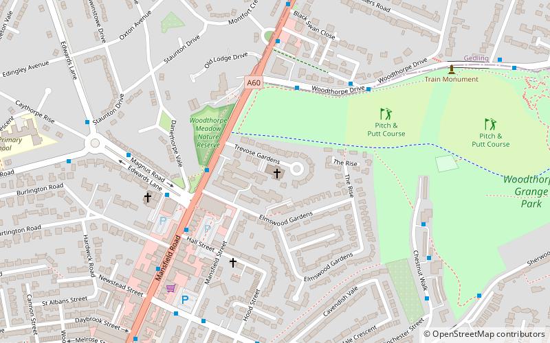
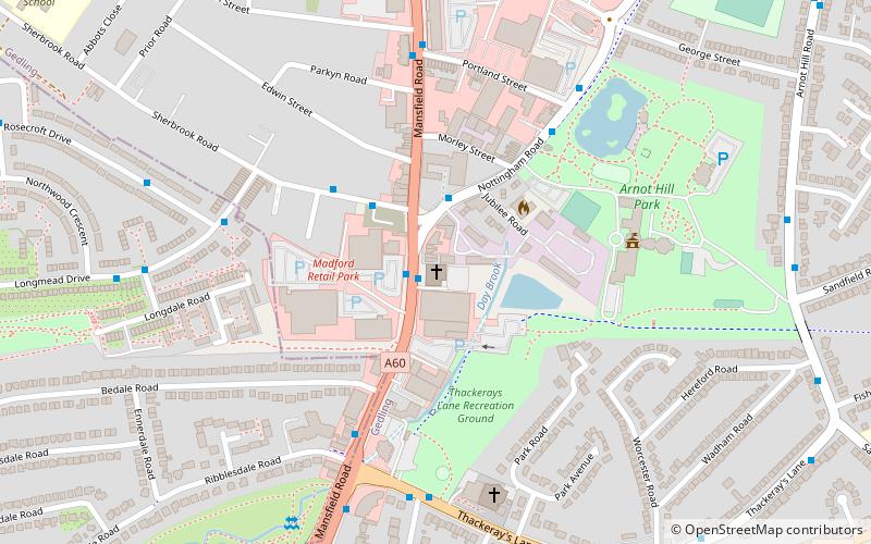
Nearby attractions include: St Paul's Church, Woodthorpe Grange Park, St Mary's Church, Church of the Good Shepherd.
Frequently Asked Questions (FAQ)
Which popular attractions are close to Bestwood Park?
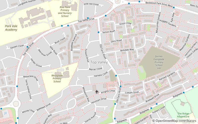
Nearby attractions include Top Valley, Nottingham (17 min walk), St Paul's Church, Nottingham (20 min walk), Daybrook Baptist Church, Nottingham (23 min walk).
How to get to Bestwood Park by public transport?
The nearest stations to Bestwood Park:
Bus
Bus
- Elmbridge Shops • Lines: 79, 89, 89A, N89, S20 (3 min walk)
- Hillington Rise • Lines: 79, 88, L9, S20 (6 min walk)


