Top Valley, Nottingham
Map
Facts and practical information
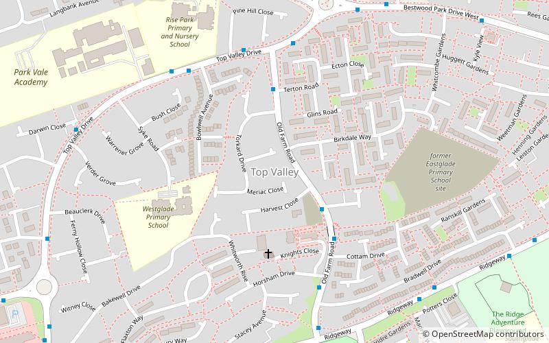
Top Valley is a largely residential area in the north west of Nottingham, England. It is located to the south of Rise Park, to the north and west of Bestwood, to the southwest of Bestwood Village and to the east of Bulwell. It is approximately 4 miles from Nottingham city centre. ()
Coordinates: 53°0'23"N, 1°10'10"W
Address
Bulwell ForestNottingham
ContactAdd
Social media
Add
Getting there by public transportation
Public transportation stops near this location
- Bus
- Tram
- Train
 Bus
Bus
- Calculate routeKnights Close 3 min walk
- Calculate routeMuirfield Road 7 min walk
- Calculate routeRise Park Bus Terminus 9 min walk
- Calculate routeBulwell Forest 23 min walk
- Calculate routeMoor Bridge 24 min walk
- Calculate routeBulwell 31 min walk
- Calculate routeHighbury Vale A 37 min walk
- Calculate routeBulwell 31 min walk
Day trips


Frequently Asked Questions (FAQ)
Which popular attractions are close to Top Valley?
Nearby attractions include Bestwood Park, Nottingham (17 min walk), Moor Bridge tram stop, Nottingham (22 min walk).
How to get to Top Valley by public transport?
The nearest stations to Top Valley:
Bus
Tram
Train
Bus
- Knights Close • Lines: 79, 88, S20 (3 min walk)
- Muirfield Road • Lines: 89 (7 min walk)
Tram
- Bulwell Forest • Lines: 1 (23 min walk)
- Moor Bridge • Lines: 1 (24 min walk)
Train
- Bulwell (31 min walk)