Newton Grange, Peak District
Map

Map

Facts and practical information
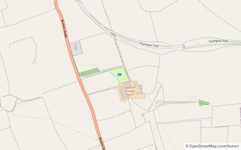
Newton Grange is a civil parish in the Derbyshire Dales district of central Derbyshire. For administrative purposes it shares a parish council with the neighbouring parish of Eaton and Alsop. When the parish council was instituted in its present form in 1974, the parish contained eight farms and four dwellings. The western boundary of the parish is the River Dove, including the eastern side of part of Dovedale. ()
Coordinates: 53°4'45"N, 1°45'21"W
Address
Peak District
ContactAdd
Social media
Add
Day trips
Newton Grange – popular in the area (distance from the attraction)
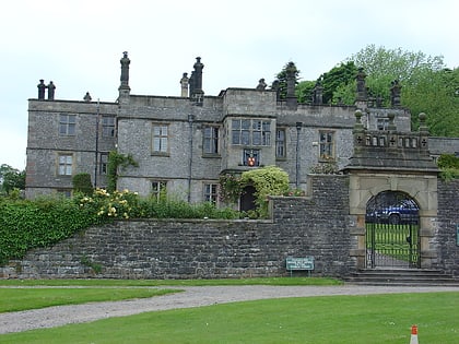
Nearby attractions include: Tissington Hall, Tissington, St Michael and All Angels' Church, Tissington.


