Dovedale, Peak District
Map
Gallery
Facts and practical information
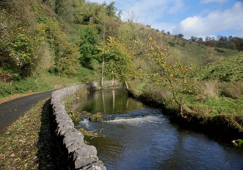
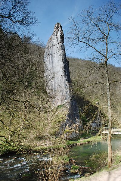
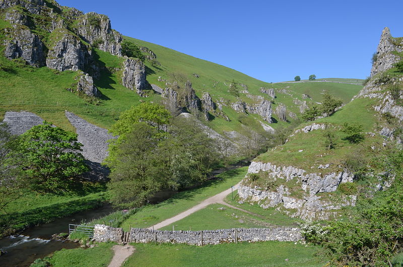
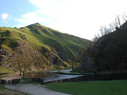
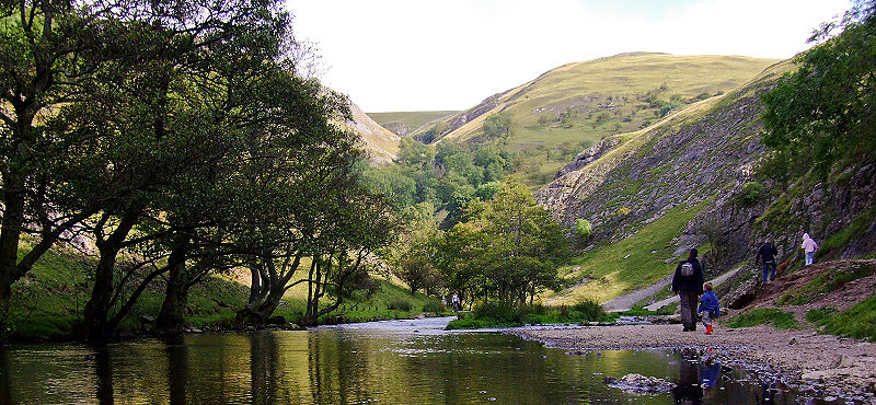
Dovedale is a valley in the Peak District of England. The land is owned by the National Trust, and annually attracts a million visitors. The valley was cut by the River Dove and runs for just over 3 miles between Milldale in the north and a wooded ravine near Thorpe Cloud and Bunster Hill in the south. In the wooded ravine, a set of stepping stones cross the river, and there are two caves known as the Dove Holes. ()
Address
Peak District
ContactAdd
Social media
Add
Day trips
Dovedale – popular in the area (distance from the attraction)
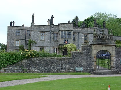
Nearby attractions include: Thorpe Cloud, St Oswald's Church, Tissington Hall, Thor's Cave.


