Belfast City Centre, Belfast
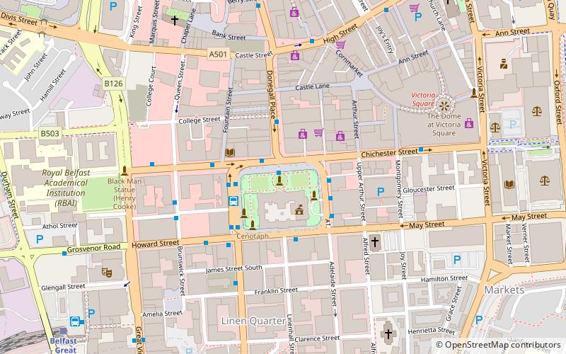
Map
Facts and practical information
Belfast City Centre is the central business district of Belfast, Northern Ireland. ()
Coordinates: 54°35'49"N, 5°55'48"W
Address
ShaftesburyBelfast
ContactAdd
Social media
Add
Getting there by public transportation
Public transportation stops near this location
- Bus
- Train
 Bus
Bus
- Calculate routeDonegall Place 2 min walk
- Calculate routeBelfast 8 min walk
- Calculate routeEuropa Bus Centre 8 min walk
- Calculate routeLaganside Bus Centre 10 min walk
- Calculate routeBelfast - Great Victoria Street 9 min walk
- Calculate routeBelfast Lanyon Place 14 min walk
- Calculate routeBotanic 16 min walk
- Calculate routeCity Hospital 18 min walk
Day trips
Belfast City Centre – popular in the area (distance from the attraction)
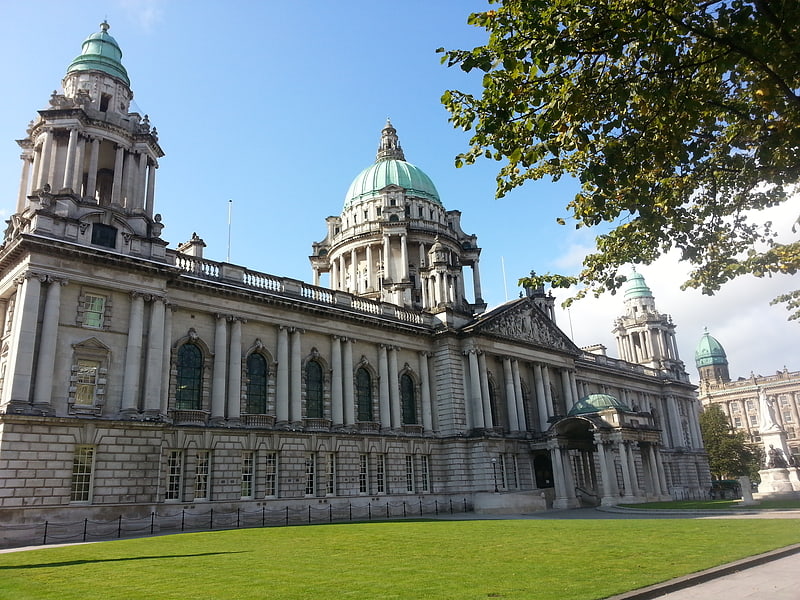
Nearby attractions include: Victoria Square, City Hall, CastleCourt, St George's Market.


Frequently Asked Questions (FAQ)
Which popular attractions are close to Belfast City Centre?
Nearby attractions include Donegall Square, Belfast (1 min walk), Belfast Wheel, Belfast (1 min walk), City Hall, Belfast (1 min walk), Lynn Building, Belfast (2 min walk).
How to get to Belfast City Centre by public transport?
The nearest stations to Belfast City Centre:
Bus
Train
Bus
- Donegall Place • Lines: 1G (2 min walk)
- Belfast • Lines: X1, X2A (8 min walk)
Train
- Belfast - Great Victoria Street (9 min walk)
- Belfast Lanyon Place (14 min walk)