Bught, Inverness
Map
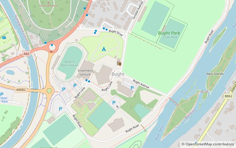
Map

Facts and practical information
The Bught is an area of the Scottish city of Inverness.A "bught" is defined in the Dictionary of the Scots Language as follows "Bowcht, Bucht, n. Also: boucht; bowght, bought. A sheep-fold; a milking fold for ewes." ()
Coordinates: 57°27'50"N, 4°14'15"W
Address
Inverness
ContactAdd
Social media
Add
Day trips
Bught – popular in the area (distance from the attraction)
Nearby attractions include: Eastgate Shopping Centre, Inverness Castle, St Mary's Catholic Church, Greig Street Bridge.
Frequently Asked Questions (FAQ)
Which popular attractions are close to Bught?
Nearby attractions include Ness Islands Railway, Inverness (6 min walk), Whin Park Inverness, Inverness (7 min walk), Eden Court Theatre, Inverness (18 min walk), Lochardil, Inverness (18 min walk).
How to get to Bught by public transport?
The nearest stations to Bught:
Bus
Train
Bus
- Cemetery Gates • Lines: 917 (5 min walk)
- Canal Bridge • Lines: 917 (6 min walk)
Train
- Inverness (31 min walk)


