Mynydd Garnclochdy, Blaenavon

Facts and practical information
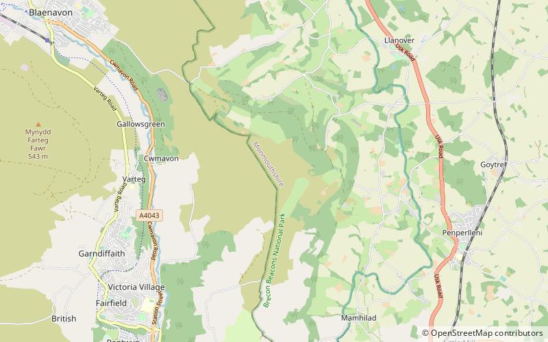
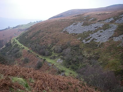
Mynydd Garnclochdy is a gentle summit on the long moorland ridge which extends south from Blorenge towards Pontypool and which defines the boundary between the modern county of Monmouthshire to the east and the county borough of Torfaen to the west though historically it was entirely within the traditional county of Monmouthshire. Its summit, at a height of 448 m, is marked by a small cairn. The summit and the eastern slopes of the hill fall within the Brecon Beacons National Park. A southern top of the hill, Mynydd Garn-wen achieves a height of 436m, and carries a trig point further south again at an elevation of 425m. To the north the broad moorland ridge runs via a poorly defined 425m top and a col at 404m elevation just south of a minor east–west road, into Mynydd y Garn-fawr, east of Blaenavon. ()
Blaenavon
Mynydd Garnclochdy – popular in the area (distance from the attraction)
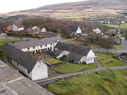
Nearby attractions include: Big Pit National Coal Museum, Blaenavon Ironworks, Pontypool Park, Alice Springs Golf Club.


