Austhorpe, Leeds
Map

Gallery

Facts and practical information
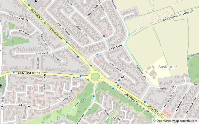
Austhorpe is a civil parish and residential suburb of east Leeds, West Yorkshire, England. It is 5 miles to the east of city centre and close to the A6120 dual carriageway and the M1 motorway. ()
Address
Halton (Austhorpe)Leeds
ContactAdd
Social media
Add
Day trips
Austhorpe – popular in the area (distance from the attraction)
Nearby attractions include: Temple Newsam, St Mary's Church, Whitkirk, Pendas Fields.
Frequently Asked Questions (FAQ)
Which popular attractions are close to Austhorpe?
Nearby attractions include St Mary's Church, Leeds (10 min walk), Whitkirk, Leeds (10 min walk).
How to get to Austhorpe by public transport?
The nearest stations to Austhorpe:
Bus
Train
Bus
- Whitkirk Skyliner Restaurant • Lines: X26 (2 min walk)
- Selby Road Sainsburys • Lines: X26 (10 min walk)
Train
- Cross Gates (16 min walk)


