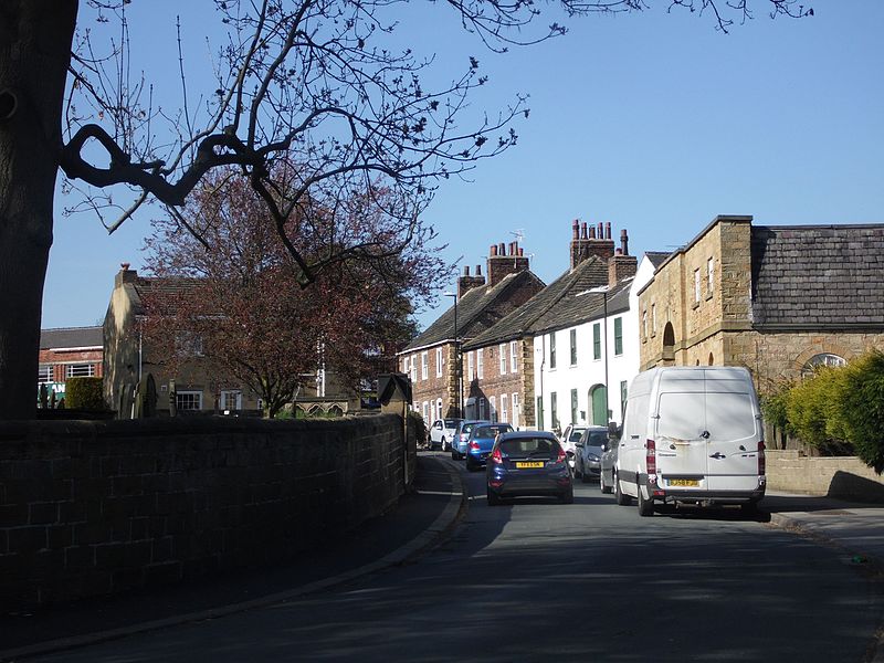
Whitkirk, Leeds
Map

Gallery

Facts and practical information
Whitkirk is a suburb of east Leeds, situated between Cross Gates to the north, Austhorpe to the east, Killingbeck to the west, Colton to the south-east and Halton to the south-west. The Temple Newsam estate lies directly south of the area. ()
Coordinates: 53°48'2"N, 1°27'0"W
Day trips
Whitkirk – popular in the area (distance from the attraction)
Nearby attractions include: Temple Newsam, St Mary's Church, St Wilfrid's Church, Austhorpe.
Frequently Asked Questions (FAQ)
Which popular attractions are close to Whitkirk?
Nearby attractions include St Mary's Church, Leeds (6 min walk), Austhorpe, Leeds (10 min walk).
How to get to Whitkirk by public transport?
The nearest stations to Whitkirk:
Train
Bus
Train
- Cross Gates (8 min walk)
Bus
- Whitkirk Skyliner Restaurant • Lines: X26 (9 min walk)
- Cross Gates Shopping Centre • Lines: 11, 11A, X26 (10 min walk)


